
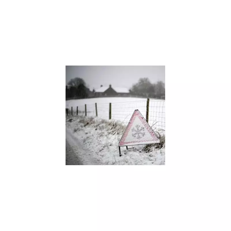
Britain is braced for a significant winter onslaught as fresh meteorological data has dramatically upgraded a predicted 'snow bomb' to deliver up to 17 inches of accumulation. The severe wintry weather is now forecast to sweep across the nation starting on January 7, according to the latest modelling.
Snow Timeline: Exact Hour Flurries Begin
Detailed charts from WX Charts, utilising the respected ECMWF weather model, provide a precise timeline for the incoming disruption. The system is expected to first impact northern England, the Midlands, and Wales around midday on January 7. The snow will then push southwards, with maps indicating serious snowfall reaching southern parts of England by 6pm on the same day.
By the morning of January 8, only the very south of England is projected to be without a covering of snow. The situation is then expected to intensify further, leading to major accumulations by midday on January 9.

Major Accumulations Forecast Across the UK
The updated data presents startling figures for potential snow depth. The most severe accumulation is predicted for Merseyside, which could see up to 44cm (17 inches) of settled snow. Similarly, the Pennines and parts of Wales are in line for around 40cm (16 inches).
In Scotland, the far north could bear the brunt with a staggering 48cm (19 inches) possible, while other northern areas may see 38cm (15 inches). Even major metropolitan centres will not escape, with forecasts suggesting 6cm to 10cm for cities including London and Birmingham.
BBC Weather Outlook and Uncertainty
The BBC's forecast for the period from Monday, January 5 to Sunday, January 11 indicates a brief milder interlude initially, with temperatures potentially nearing the January average. However, this will be short-lived.
The forecast explains that frontal systems are then expected to move in from the Atlantic, bringing increased precipitation. It states: "For most areas, this will fall as rain, although some snow is possible at higher elevations—most likely across the Highlands. Northern and western areas are expected to be wetter than the south and east."
Meteorologists have noted a degree of uncertainty, however. There remains a chance that high pressure could build to the west, which would lead to a much drier outlook for the UK, holding the frontal systems back over the Atlantic. For now, residents are advised to prepare for the likelihood of significant winter disruption in the first full week of January.


