
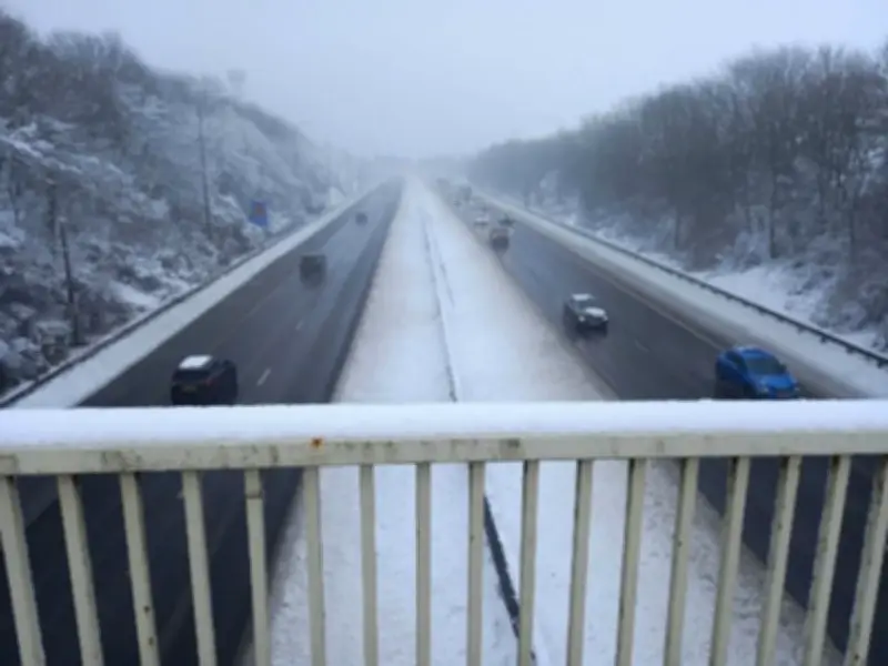
New weather maps from WX Charts, based on the GFS model, indicate that the first snow of autumn could fall across the UK on three separate dates in October: October 12, October 13, and October 14. The majority of the snow is expected in Scotland, with as many as 12 counties in the northern parts of the country at risk. The wintry precipitation could measure up to 4cm, according to the forecasters.
Scotland most at risk as snow maps show 4cm potential
The charts show large swathes of white sweeping across the country, bringing wintry conditions within 10 days' time. The forecasts come as the weather turns colder as the UK moves into the middle of October. WX Charts has identified these three dates as the first of autumn where snow could materialise, but the maps have not yet been mirrored by the Met Office or BBC Weather.
According to WX Charts, the snow will be concentrated north of the border, with up to 12 Scottish counties potentially affected. The exact locations and intensity of the snowfall remain uncertain, as the models are still several days out from the predicted event.
Long-range forecasts point to wetter, milder autumn
Looking further ahead to late October and November, Netweather TV has provided its own outlook. In a statement, Netweather TV said: "Novembers in El Nino years are typically characterised by a strong Atlantic trough and frequent southerly and south-westerly winds, and it looks probable that we will see a transition towards that kind of setup during the last third of October, but maybe not until towards the end of this period."
Netweather TV added: "Generally the outlook is for the weather to be predominantly changeable with low pressure often close by, with temperatures close to average early in the period but trending above average towards the end of the period. Overall, it is expected to be wetter than average for most of the country, with temperatures ending up a degree or two above the long-term average, while sunshine totals will probably drop below average in most regions."
BBC and Met Office remain cautious on snow risk
The BBC has also weighed in on the outlook for the period from Monday 19 October to Sunday 1 November, saying it will "potentially" turn "seasonably cooler." In its forecast, the BBC stated: "Temperatures should mostly still be a little above the late October average. There may be higher chances of calm periods and therefore chilly nights, with overnight and morning fog patches."
The BBC continued: "By the turn of the month, high pressure might shift to the northeast. This could maintain the drier trend again, but potentially also lead to a slight cooling, with temperatures closer to normal. However, there is no sign yet of any risk of a notably cold outbreak."
It also noted an alternative outcome: "There is a reasonable chance of an alternative outcome wherein high pressure shifts farther away, allowing low pressure systems closer to the UK, with a wetter and windier but mild outcome." Neither the Met Office nor BBC Weather has yet confirmed the WX Charts snow predictions for October 12-14, leaving the exact timing and location of the first autumn snowfall open to change as the date approaches.