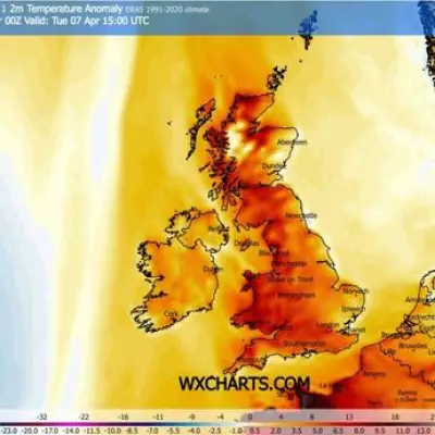
The United Kingdom is preparing for a significant wintry blast in the new year, with forecasters warning of a potential 500-mile wall of snow set to sweep across the country. Fresh weather modelling indicates a major snow event could unfold in the first full week of January, bringing disruptive conditions to vast swathes of the nation.
Snow Maps Paint a Wintry Picture
Detailed charts from WX Charts, which utilises Metdesk data, reveal a dramatic development for Wednesday, 7 January. The maps show a thick purple cloud, indicative of heavy snowfall, enveloping the British Isles. This band of precipitation is projected to stretch an immense 495.5 miles, from the Scottish Highlands all the way down to the South East of England.
The most intense snowfall is currently forecast for parts of West Yorkshire. Models suggest the region could see accumulation rates reaching 7.6 centimetres per hour around 6am on that Wednesday. Earlier in the night, Birmingham and the West Midlands are also in line for a substantial dusting, with potential falls of 3.3 centimetres per hour around midnight.
Regional Variations: Who Will Be Hit Hardest?
While much of the country faces the prospect of significant snow, not all areas will be affected equally. According to the same projections, a cluster of counties primarily in the southern part of England appear likely to escape the worst of the snowfall. The areas that could be spared include:
- Cornwall
- Devon
- Somerset
- Dorset
- Bristol
- Hampshire
- Sussex
- Surrey
- Isle of Wight
This south-western and southern coastal fringe may experience colder conditions but are predicted to miss the bulk of the snow showers associated with this particular system.
Met Office Long-Range Forecast Aligns with Wintry Outlook
The prospect of early-January snow is supported by the Met Office's own extended forecast. In its outlook for the period 2 to 11 January, the national forecaster states that cold northerly winds will become dominant across the whole UK.
"These will bring wintry showers (often of snow) to many coastlines and areas just inland that are exposed to onshore winds," the forecast explains. It also notes that while subtle wind direction changes will shift the focus of the showers, many inland central and southern areas will stay dry but cold.
The Met Office adds a warning about "more coherent bands of rain, sleet and snow working south," which could bring a risk of prolonged wintry weather to some inland regions. However, there is a hint of respite later in the period, with slightly milder conditions expected to try and move in from the west as the second week of January progresses.
Residents across the UK, particularly in northern and central regions, are advised to keep a close eye on the latest weather updates as the new year begins, with travel plans likely to be impacted by the anticipated freeze.


