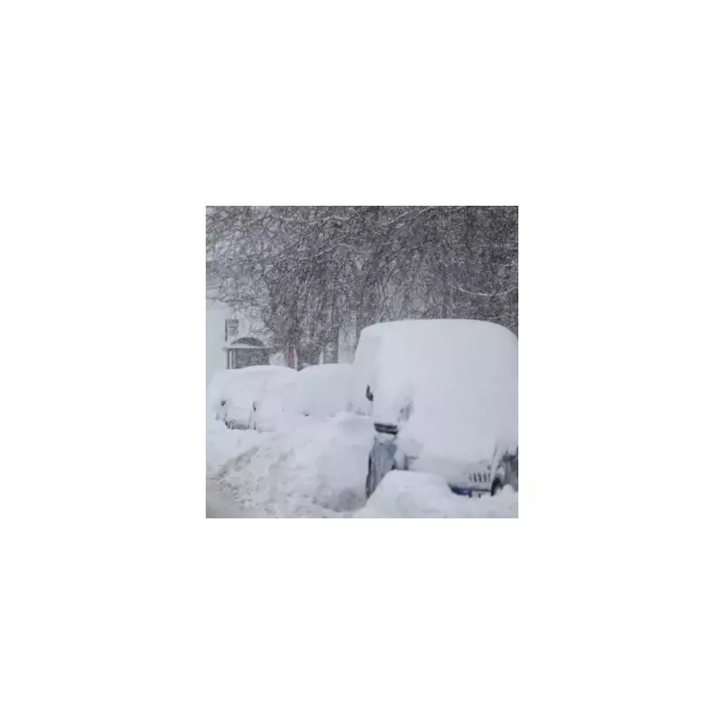
A colossal winter storm, dubbed a 'snow bomb', is set to sweep across the United Kingdom next week, bringing widespread disruption and significant accumulations of snow. Forecast maps indicate the system will span a staggering 704 miles, from the north of Scotland all the way down to the south coast of England.
Which Areas Are Most at Risk?
Data from WX Charts, which utilises Met Desk information, shows a severe downturn in conditions from Sunday, 11 January 2026. The charts have turned purple, indicating areas of particularly heavy snowfall. In total, 71 counties across England, Scotland, Wales, and Northern Ireland are expected to be affected.
In England, 18 counties are in the direct path of the storm. These include:
- Northumberland, Tyne and Wear, and County Durham in the North East.
- North Yorkshire, East Riding of Yorkshire, and Lincolnshire.
- Norfolk, Suffolk, Essex, Kent, and East Sussex along the east and south-east coasts.
- West Sussex, Hampshire, Dorset, Somerset, and Gloucestershire in the South and South West.
- London and Surrey are also on alert for a dusting of snow.
Scotland, Wales and Northern Ireland Braced for Impact
The forecast suggests almost the entirety of Scotland will face the brunt of the weather. Counties at risk range from Aberdeen City and Aberdeenshire in the north-east to Glasgow City and the City of Edinburgh in the central belt, and down to Dumfries and Galloway in the south. The Highlands, Western Isles, Orkney, and Shetland are all included in the warning area.
In Wales, the alert covers counties from Anglesey and Gwynedd in the north, through Powys, to Cardiff, Newport, and Swansea in the south. For Northern Ireland, counties including Antrim, Tyrone, and Londonderry are expected to be hit, with snow probable over the Mourne Mountains.
Immediate Forecast and Travel Disruption
Looking at the immediate outlook for Wednesday, 7 January, Netweather TV predicts showery rain clearing the south, leaving a mix of sunny intervals and scattered showers. A north-westerly wind will make it feel cold, with showers remaining wintry, especially in northern and eastern Scotland, leading to further accumulations on higher ground.
The forecaster states: "At lower levels though, expect mostly rain or sleet in any showers. Northern Ireland and the South West may see fewer showers, but here another front may bring some rain later... Top temperatures for most will be 2 to 7C, with a slow thaw of lying snow at lower levels."
However, the significant deterioration is expected as we move deeper into January, culminating in the major snow event forecast for the 11th. Residents across the listed counties are advised to monitor official forecasts from the Met Office and prepare for potential travel disruption, school closures, and cold weather impacts next week.


