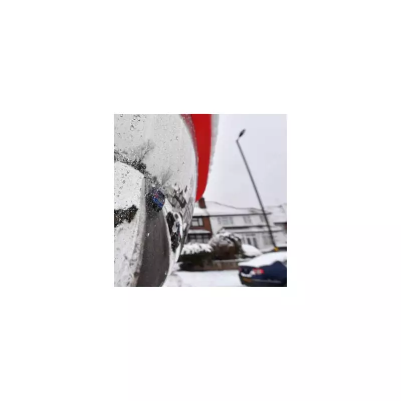
The UK's wintry blast is set to grip the nation for longer than first forecast, with forecasters extending severe weather warnings. Birmingham and the wider West Midlands now face a heightened alert for disruptive snow at the start of the new working week.
Amber and Yellow Warnings in Force
Amber warnings for snow have been activated for parts of northern and eastern Scotland, effective from midday on Friday, 2 January 2026, and lasting for 24 hours. This signifies a potential high-impact event for areas including Angus, Perth and Kinross, Grampian, Aberdeenshire, Moray and parts of the Highlands.
Separately, a yellow weather warning for snow and ice has been issued for Monday, 5 January. This alert covers the West Midlands conurbation, encompassing Birmingham, and stretches to Staffordshire, Shropshire, Telford and the Wrekin, and Stoke-on-Trent. It is valid from Sunday evening until midday on Monday.
Disruption Forecast for Travel and Services
The Met Office warns that the incoming snow and ice could cause significant travel disruption from Sunday evening through to Monday morning. Snow showers are predicted to push inland across Wales, parts of northwest England, the West Midlands, and southwest England during Sunday evening.
While coastal areas may see rain and sleet, inland areas are expected to receive snow. Although not every location will be affected, many places could see 1-3 cm of accumulation by Monday morning, with a potential for 5-8 cm in a few spots, particularly across inland and higher parts of Wales. Icy patches are also expected to form widely.
Labour's Health Secretary, Wes Streeting, has cautioned that the "bitingly cold snap" will place additional strain on NHS hospitals and has urged the public to only attend A&E for genuine emergencies.
Longer Cold Spell and Uncertain Outlook
Met Office forecaster Neil Armstrong stated that the cold spell "could last well into next week", with more weather warnings likely for wintry hazards. In the Scottish amber warning zone, blizzard conditions could lead to power cuts and strand vehicles.
Nick Finnis from Netweather TV provided further detail, noting: "Further sleet and snow showers [are expected] across the north of Scotland and coastal areas of the east and west on Monday... otherwise dry and cold with plenty of winter sunshine."
He added that forecast models indicate uncertainty later next week, with a potential breakdown of the cold air from the west. This could bring low-pressure systems from the Atlantic, leading to further spells of snow, particularly in northern areas, while southern regions might see a mix of rain, sleet, and hill snow.


