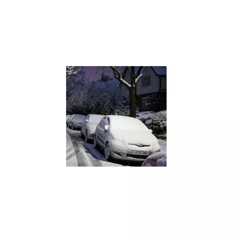
Residents across the Midlands have been put on alert for potential snowfall this weekend, with forecasts indicating wintry showers could reach areas as far south as Birmingham.
When and where will the snow arrive?
According to detailed weather maps from WXCharts, patches of snow are likely to develop on Sunday, December 21. The data suggests the first flurries could appear in regions surrounding Birmingham and Swansea as early as 3am.
By 9am on the same day, the snowfall is projected to extend to areas including Bradford and Halifax. Later in the day, around 6pm, a small patch of snow is even forecast for Dorset, according to the latest chart readings.

Met Office warns of 'rather wintry' conditions
The national weather service has echoed these predictions, highlighting an unsettled and rather wintry period for the UK this weekend. In its forecast for December 18 to December 27, the Met Office states that the west and northwest may see frequent showers and rain.
Any snow will probably be confined to high ground in the north, the forecast explains, adding that strong winds are possible with a risk of gales, particularly along coasts and over higher terrain.
A shift towards frost and fog before Christmas
Looking ahead to the festive period, the Met Office indicates a change in weather patterns. There is a signal for less unsettled conditions to develop as Christmas approaches, with a greater chance of high pressure building near the UK.
While this should reduce the likelihood of impactful rain or strong winds, it brings an increased risk of overnight frost and fog. The Met Office notes that such fog may be slow to clear given the time of year, leading to potentially chilly days where it lingers.
This period of more settled weather is expected to see rainfall amounts decrease, with drier conditions becoming more prevalent across the country.