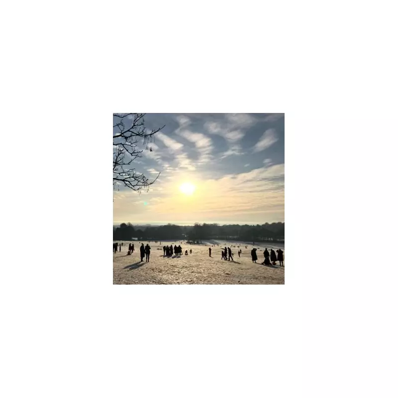
Britain is bracing for a dramatic cold snap as weather maps reveal several regions of England could be blanketed in up to five inches of snow within days. The Met Office has issued warnings as an Arctic air mass prepares to sweep across the country, bringing freezing temperatures and significant snowfall.
When and Where the Snow Will Strike
According to detailed weather modelling from WX Charts, using data from MetDesk, the white stuff is expected to start falling from Thursday, March 28, with the most severe conditions developing overnight into Friday.
The North East and North West of England appear most vulnerable to the heaviest snowfall, with projections showing accumulations of 5-12cm (2-5 inches) in these regions. The Midlands and parts of Yorkshire are also in line for substantial snow coverage.
Temperature Plunge Ahead
As the week progresses, temperatures are forecast to drop significantly below seasonal averages. The mercury could plummet to -3°C in northern areas overnight, with daytime highs struggling to reach 6°C in many parts of the country.
Meteorologists attribute the incoming cold spell to a shift in weather patterns, with high pressure building to the north of the UK allowing Arctic air to push southwards across the British Isles.
Travel Disruption Warning
The anticipated snowfall is likely to cause:
- Dangerous driving conditions on untreated roads
- Potential delays to public transport services
- School closures in worst-affected areas
- Increased risk of ice-related accidents
Motorists are being advised to prepare for difficult travel conditions and consider postponing non-essential journeys in affected regions.
Longer Term Outlook
While the snow is expected to be most intense on Thursday and Friday, cold conditions are likely to persist through the weekend. The Met Office continues to monitor the situation closely and may issue formal weather warnings as the event draws nearer.
Residents in potentially affected areas are recommended to stay updated with the latest forecasts and prepare for winter conditions returning unexpectedly as spring attempts to take hold.


