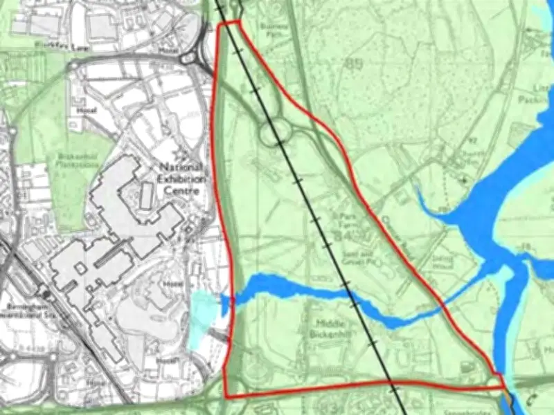
More than 70 green belt sites in Solihull borough have been identified as potential 'grey belt' land, according to an updated assessment. The Local Democracy Reporting Service has compiled a full list of the 72 sites detailed in the council's revised green belt review.
What is grey belt?
Grey belt refers to lower-quality, low-value portions of protected green belt land that could be suitable for development. The designation is part of national planning policy changes aimed at boosting housing supply while protecting the most valuable green spaces.
Solihull Council has been keen to stress that not all the sites will necessarily go on to be developed. Councillor Andy Mackiewicz, the authority's cabinet member for climate change and planning, said: “Decisions about whether any sites should be released from the green belt to meet future development needs across the borough will be made through the local plan process.”
Full list of potential grey belt sites
To help residents identify the areas, the list includes roads on or near the boundary of each parcel of land identified. The full list encompasses a wide range of locations across the borough, from the south of Birmingham Airport to areas adjacent to Balsall Common, near the new HS2 route.
The assessment, which provides the reasoning behind each site being labelled as potential grey belt, can be found at solihull.gov.uk/planning-and-building-control/emerging-local-plan.
What happens next?
The identification of these sites is part of the borough's emerging local plan, which will determine future development needs. Residents and stakeholders are encouraged to review the assessment and participate in the consultation process as the plan progresses.