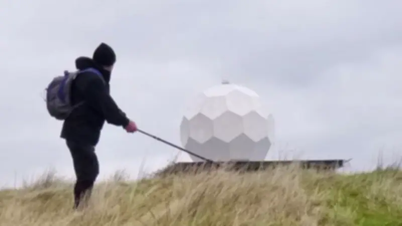
The distinctive 'golf ball' structure perched on top of Hameldon Hill is actually a Met Office weather monitoring station, according to Rossendale Rotary. Visible from miles around, the landmark has been a familiar sight for decades.
A pioneering weather station
When commissioned in 1975, the station was the first unmanned installation in the UK's national weather radar network. It was equipped with advanced technology designed to discriminate between raindrop sizes, a capability that was cutting-edge at the time.
Rossendale Rotary, which organises the Round the Hills walks, highlights this fascinating fact as part of their series on local landmarks. The station's prominence also means it hosts a number of radio and communication masts, providing coverage across East Lancashire and the Rossendale area.
Discovering local heritage on foot
The revelation comes as part of the group's efforts to encourage residents and visitors to explore the region's heritage. The Round the Hills walk offers participants the chance to see such landmarks up close while enjoying the scenic landscape.
For those interested in joining the walk, more information and booking details are available on the Rossendale Round the Hills Facebook page. The walk promises not only exercise but also a deeper appreciation of the area's unique features.
Rossendale Rotary has been promoting local heritage through a series of highlights, with previous features including Cribden Hill and The Halo. These walks aim to connect people with the history and natural beauty of Bacup, Rawtenstall, and Haslingden.
The Hameldon Hill station remains an operational part of the Met Office's network, continuing to provide vital weather data to this day.