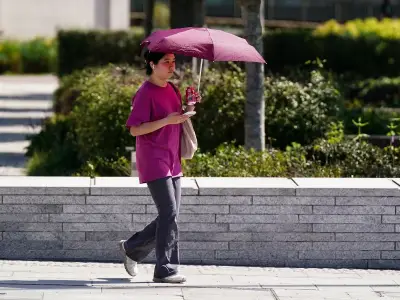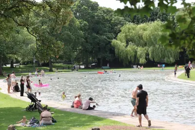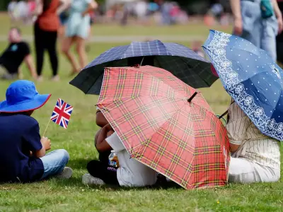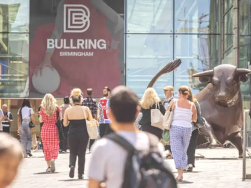
The Met Office has confirmed that temperatures are set to reach 25C across Birmingham and the wider West Midlands this weekend, continuing the recent warm spell.
Saturday's Forecast
Today (Saturday, August 15) is expected to be a 'mainly dry and bright day', although a 'few light showers' are possible in some areas. A 'light northerly breeze' will allow temperatures to be a little lower than of late, but it is still expected to reach 25C.
Heading into the evening, the Met Office predicts it will be 'a little cooler for many', with lows of 11C.

Sunday and Early Next Week
Sunday's forecast suggests a 'cloudy start' in places, with some isolated light showers. However, it should soon 'brighten up' with 'lengthy spells of sunshine' and highs of 25C.
Monday is looking to be 'mostly cloudy', with 'rain possible overnight'. This is due to give way to 'sunny spells' for Tuesday and Wednesday, with the chance of a 'few showers'.
Long-Range Outlook
The Met Office said temperatures next week would be 'nearer average for the time of year'. A long-range forecast for August 19 to 28 states: "The first few days of this period are likely to be rather changeable, with many parts of the UK seeing showers or perhaps some longer spells of rain."
"Within this broad pattern, there is potential for a low pressure system to develop just to the west or possibly over the UK, which would bring the possibility of more widespread rain and perhaps strong winds. By the latter part of August, there are signals for high pressure to become rather more dominant again, with more in the way of dry weather developing once more, especially towards parts of the north and west. Temperatures are more likely to be above normal than below overall, though the possibility of widespread or exceptional heat is perhaps a little lower than in recent weeks."