The Met Office has issued a yellow weather warning for thunderstorms across parts of the Midlands, with sudden gusts of up to 60mph possible from 6pm on Thursday evening.
Warning Details and Timing
The alert, covering parts of the West Midlands, is in force from 6pm until 11.59pm on Thursday, June 25. While many areas are expected to miss the worst of the storms, the Met Office warned that disruption could occur in some places.
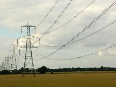
According to the Met Office, there is a small chance that buildings and temporary structures could be damaged by strong winds. Short-term loss of power and other services is also possible.

Additional Hazards
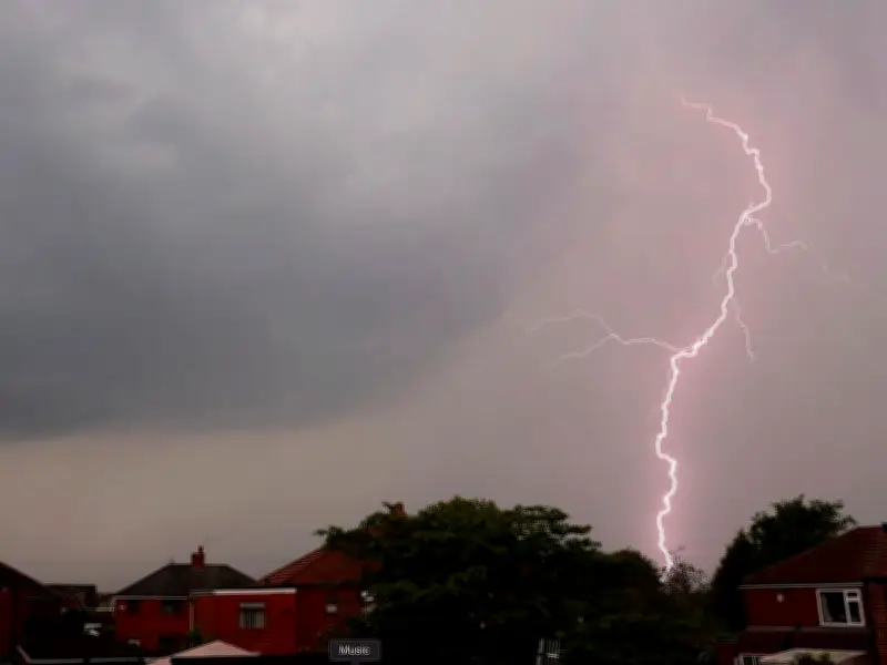
Lightning, hail and heavy rain are described as additional hazards. The Met Office statement said: "After another very hot day, scattered showers and thunderstorms are expected to move northeastwards during Thursday evening and night. Whilst many areas will miss them, thunderstorms may produce sudden, gusty winds with 50 to 60mph possible. Frequent lightning, hail and heavy rain are additional hazards."
Regions and Local Authorities Affected
The yellow warning covers the following areas in the West Midlands: Herefordshire. Other affected regions include London & South East England (Hampshire), South West England (Bath and North East Somerset, Bournemouth Christchurch and Poole, Bristol, Cornwall, Devon, Dorset, Gloucestershire, North Somerset, Plymouth, Somerset, South Gloucestershire, Torbay, Wiltshire), and Wales (Blaenau Gwent, Bridgend, Caerphilly, Cardiff, Carmarthenshire, Merthyr Tydfil, Monmouthshire, Neath Port Talbot, Newport, Powys, Rhondda Cynon Taf, Swansea, Torfaen, Vale of Glamorgan).