
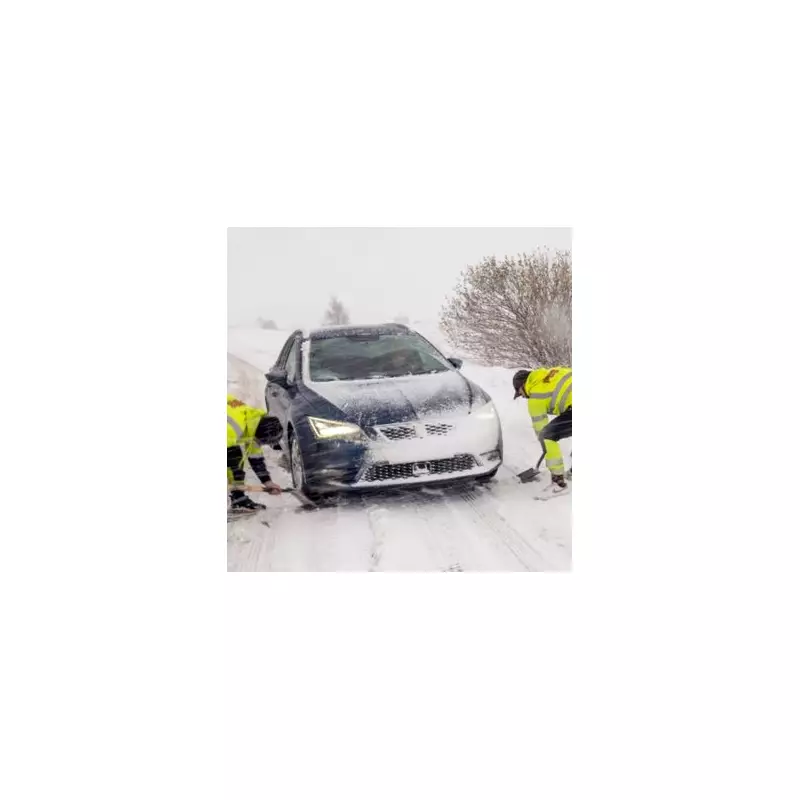
The United Kingdom is preparing for a significant wintry spell, with fresh weather data indicating up to 48 hours of snowfall could blanket parts of England over the festive period. Advanced modelling points to disruptive flurries on both Christmas Day and Boxing Day, December 25 and 26.
Which Counties Are Set For Snow?
According to detailed snow maps from WX Charts, which utilise data from Met Desk, several regions are in line for a white Christmas. The projections show accumulating snow across southern counties like Kent and Suffolk, as well as areas further north including the Pennines.
The GFS (Global Forecast System) modelling identifies nine specific counties that could see snow between Christmas Eve and Boxing Day. The list includes:

- Kent
- Suffolk
- Devon
- Northumberland
- County Durham
- Yorkshire
- Greater Manchester
- Lancashire
- Cumbria
The advanced modelling also suggests potential impacts for South West England and the North West.
Official Forecast: A Chilly, Settled Pattern Emerges
The Met Office outlook for the period from December 22 into the New Year indicates a shift in weather patterns. Their forecast states that unsettled conditions are likely to continue at first, with low pressure to the southwest and high pressure building to the northeast.
"This means a broadly easterly flow will become increasingly dominant through next week, whilst periods of rain or showers become increasingly confined to southern or southwestern parts," the forecast explains.
It adds that high pressure is then expected to become more dominant, bringing drier and more settled weather for many. However, isolated showers in eastern parts could turn wintry at times. Crucially, temperatures are predicted to fall closer to, or a little below, the seasonal average, making overnight frost and fog more prevalent.
Longer-Term Outlook Into January
The BBC's weather team corroborates the trend towards chillier conditions. They suggest that after further unsettled and mild weather, drier and colder conditions are likely to develop from next week into January. However, they stress that nothing "remarkably cold" is currently anticipated.
There remains uncertainty regarding the duration and intensity of this colder spell. The BBC notes that milder conditions could start to return by mid-January. Their next update will assess whether confidence has grown in the development and subsequent decline of high pressure near the UK later in December.
Residents in the affected counties are advised to stay updated with the latest local forecasts as the Christmas period approaches, as the exact timing and accumulation of snow can still change.


