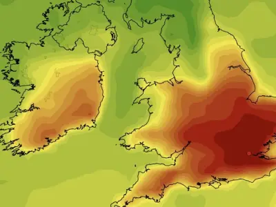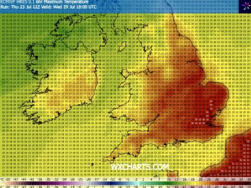
Both the European ECMWF and US GFS weather models are converging on widespread temperatures of 35C to 37C across the UK from early next week, according to maps and charts from forecasting agencies. WX Charts’ GFS system shows 37C searing the south and east of England again, with maps burning a bright red crimson as the UK prepares for its fourth heatwave of the year.
Forecast Details: July 28-30
The hot weather shows no sign of abating, with maps published on the WX Charts modelling site turning a deep shade of red, with a mixture of yellow, orange and burgundy hues across the whole country on July 29. There is also a pretty unanimous 30C to 32C forecast for July 28, July 29 and July 30 in London, while some models put the figure closer to 35C to 37C. The ECMF is a bit more conservative, keeping higher temperatures further east with cooler air pushing in by Friday.
Met Office and BBC Weather Statements
The Met Office said in its latest forecast: “During next week Atlantic dominated weather fronts will push in from the west bringing some rain, but in between there will be brighter spells, which in the July sunshine should elevate temperatures to the mid 20sC.” Met Office meteorologist Greg Wolverson added: “Although there is a return to rain in the forecast, we have just come out of an exceptionally dry spell and the forecast rain is unlikely to be widespread or substantial. Many areas are likely to continue experiencing prevailing dry conditions for the foreseeable future, especially in southern England.”

The BBC Weather team adds: "Some very warm days in the upper 20s Celsius are still possible in the southern UK, especially later in the week, with chances of stronger high pressure trying to build. Temperatures elsewhere should overall be a little above or at least near normal."
Regional Variations and Drought Concerns
Netweather TV explained: “It looks to remain unsettled across Scotland, northern England and N. Ireland early next week, with cool, cloudy and breezy conditions off the Atlantic and further spells of showery rain at times. Meanwhile, a ridge of high pressure looks to quickly build back further south across England and Wales, with a return to drier conditions. These drier and more settled conditions perhaps extending further north across Scotland from mid-week too, meanwhile, it looks to become hot again across the south, with 30C forecast by a few models as early as Wednesday in SE England, then high 20s and perhaps 30C or so more widespread across southern UK Thursday and Friday. Cooler and cloudier across northern England and Scotland though, high teens or low 20s at best, still a chance of some showers too. So, unfortunately, it looks like the wait continues for any meaningful rainfall for areas already in drought or on the brink of drought."