
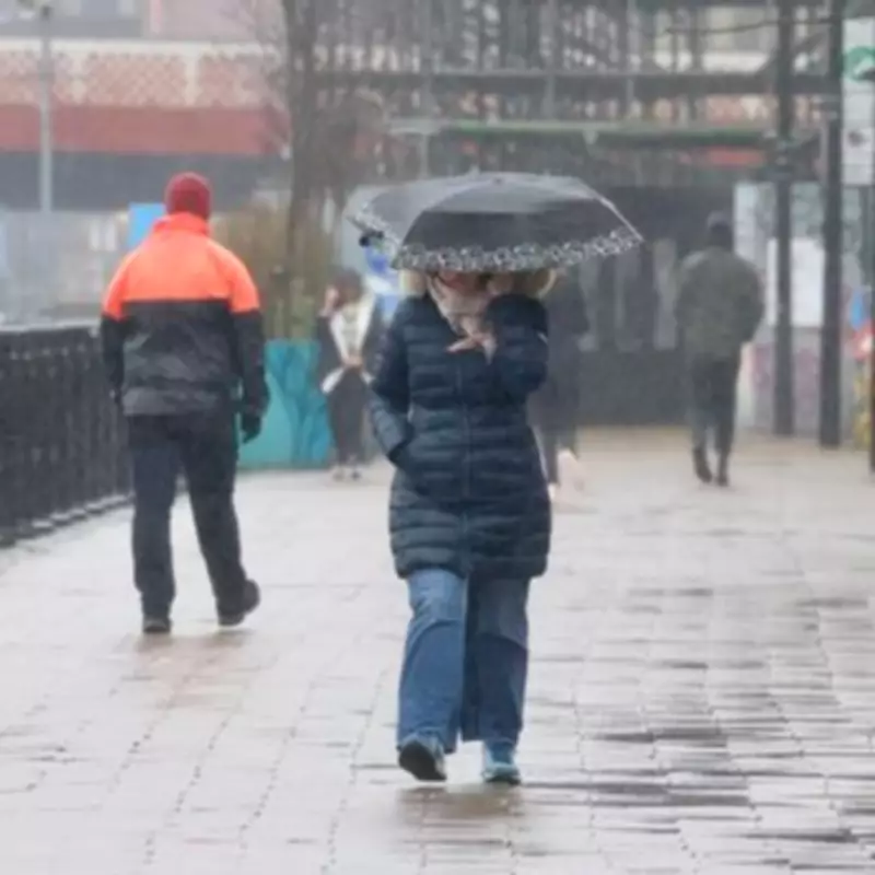
The Met Office has delivered a sobering forecast, indicating that the relentless rainy weather battering parts of the United Kingdom shows no signs of abating. Since the start of the year, numerous regions have endured daily downpours, creating a persistently wet and gloomy atmosphere across the nation.
Record-Breaking Rainfall and Gloom
In a particularly striking example, Aberdeen in Scotland has now gone two full weeks without any sunshine. This marks the longest period without sun for the area since official records began back in 1957, highlighting the exceptional nature of the current weather pattern.
Meanwhile, South West England and south Wales have reported rainfall on every single day since 2026 began. These areas have experienced approximately 50 per cent more rainfall than is typical for this time of year, resulting in a January that was far wetter than the seasonal average.

Widespread Weather Warnings Issued
The Met Office has responded to the ongoing deluge by issuing "yellow" level rain warnings for extensive parts of the country. These alerts are in effect from early Thursday morning through to late Friday evening, covering areas including Wales, South West England, South East England, and the West Midlands.
A separate yellow warning has also been activated for Northern Ireland, running from midday Thursday until midnight on Friday. The primary concern for forecasters is the risk of further flooding, as the ground is already widely saturated from the persistent rains, reducing its ability to absorb more water.
Forecasters See No Immediate Relief
Commenting on the dreary conditions, Met Office operational meteorologist Dan Stroud stated bluntly, “Unfortunately, there’s no end in sight.” This assessment underscores the challenge facing communities as they brace for more wet weather.
Looking ahead to the weekend, the forecast for the West Midlands illustrates the broader pattern. Friday is expected to begin widely cloudy as rain continues to push northwards, bringing heavy and prolonged downpours at times. While some brighter skies may emerge from the south during the afternoon, they are likely to be followed by frequent heavy showers. Maximum temperatures are forecast to reach only around 8°C.
Weekend Outlook Remains Damp
The unsettled conditions are predicted to persist into Saturday. The West Midlands is expected to turn increasingly cloudy through the morning, with heavy showers continuing for much of the day. There may be a slight reprieve later on as showers become lighter, but the overall theme remains damp, with a maximum temperature of around 9°C forecast.
Current predictions suggest that the earliest potential break in the rain might not occur until Sunday, February 8th. Until then, residents across the affected regions are advised to stay informed about local warnings and take necessary precautions against potential travel disruption and flood risks.


