
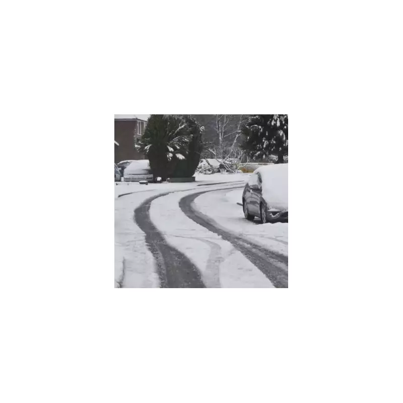
Fresh weather maps are predicting a significant post-Christmas snow event that will blanket parts of the UK, bringing blizzard conditions and a severe temperature drop. According to data from WX Charts, which utilises Met Desk information, up to four inches (10cm) of snow could fall in some regions, with the mercury plummeting to as low as -9 degrees Celsius.
Widespread Snow and Plummeting Temperatures
The charts indicate that the cold snap is set to intensify around January 3, following the festive period. Scotland is expected to bear the brunt of the wintry weather, with widespread snow accumulations of between 1cm and 10cm forecast. Major cities including Edinburgh and Glasgow are at risk, alongside Inverness, Aberdeen, Wick, and Dundee. The Highlands are likely to see the most severe conditions.
In England, areas from the East Midlands and North East to East Anglia are on alert. Locations such as Nottinghamshire, Derbyshire, Yorkshire, Norfolk, and Suffolk could see up to 8cm of snow at times. Temperatures are forecast to drop sharply across the board.

A Deep and Biting Cold Snap
The impending freeze will see temperatures vary dramatically across the UK. The Scottish Highlands are predicted to endure the most extreme chill, with lows of -9C. Edinburgh could see -8C, while widespread lows of -4C are expected elsewhere, including in Birmingham and the Midlands.
Other nations will also shiver through the period:
- Wales: Lows of around -5C.
- England: Potentially down to -7C in some places.
- Northern Ireland: Facing conditions around -3C.
Christmas Day Outlook and Beyond
Despite the severe forecast for early January, Christmas Day itself currently looks unlikely to be a white one for most. Netweather TV's forecaster, Nick Finnis, provided analysis. "At the moment, high pressure looks to be too close to the north and the easterly flow is not particularly cold aloft, so snow looks unlikely on Christmas day, as it will be mostly dry," he said.
However, he noted that the easterly winds could bring a shallow layer of cold air, potentially leading to low cloud, drizzle, or some wintry precipitation over higher ground in the east. The best chance of sunshine on December 25 is currently in the west.
Looking further ahead, Finnis suggested the cold pattern is set to lock in. "For now, current model output suggests that high pressure will remain close to northern UK... this may keep the UK and Ireland locked in cold easterly, northeasterly or northerly flow, so temperatures staying below average." He added that while it looks mostly dry, there is a potential for rain, sleet, or snow to push in from the northeast, with Atlantic systems likely being blocked.
Residents across the affected regions are advised to stay updated with the latest forecasts from the Met Office as the potential for disruptive winter weather increases after the New Year.


