
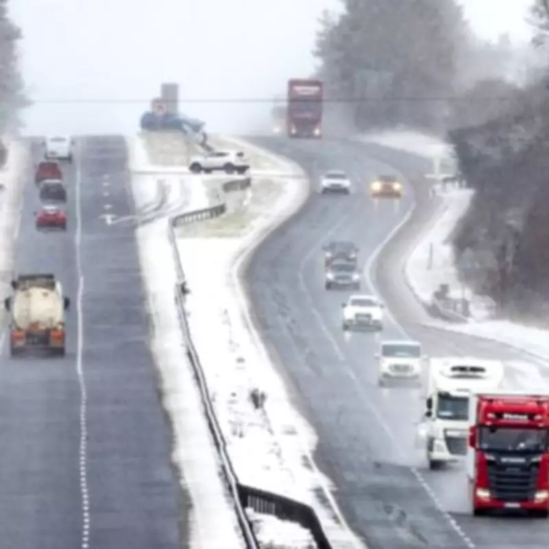
More than a dozen counties across England are preparing for wintry conditions as snowfall is predicted to arrive before the current week concludes. Fresh meteorological data indicates that snow flurries could once again sweep across parts of the United Kingdom starting from February 16, according to projections from WX Charts which utilises Met Desk information.
Regions Facing Imminent Snowfall
The detailed weather modelling reveals significant snow accumulation moving across the Irish Sea, with the white precipitation expected to reach both England and Scotland from the middle of February. Numerous counties have been identified as facing potential disruption from these incoming flurries.
Northern and Eastern Counties Most Affected
The eastern regions of England appear particularly vulnerable according to the GFS weather system. Counties that could experience snowfall include Norfolk, Suffolk, Lincolnshire, Cumbria, Northumberland, Durham, Lancashire and Greater Manchester. Additionally, Cheshire, Derbyshire, Leicestershire, Nottinghamshire and Staffordshire have been highlighted as areas at risk of wintry precipitation.

Meteorological Consensus on Weather Patterns
These projections align with analysis from the Met Office, which suggests that northern and eastern areas of England face the highest probability of experiencing snow flurries during this period. The national weather service has identified these regions as most susceptible to winter weather disruptions.
Meanwhile, the BBC Weather team forecasts that unsettled conditions will persist throughout the coming week. Their analysis indicates that southern parts of the UK should experience temperatures above seasonal norms, while northern regions will likely see below-average temperatures accompanied by some hill and mountain snow.
Detailed Weather Outlook
The meteorological team further elaborates that colder air could become more widespread temporarily by mid-February, with milder conditions potentially returning later in February and into early March alongside continued unsettled weather patterns.
For the period spanning Saturday 7 to Sunday 15 February, forecasters predict conditions will be "mild at first but colder later in the week." They explain that low pressure systems should continue circulating sluggishly near western and south-western UK regions until midweek, with associated fronts and troughs pushing north-east and northwards.
This atmospheric setup will maintain changeable weather through the coming days, featuring alternating bands of rain or showers interspersed with occasional drier and brighter intervals. Parts of Wales, south-western England and southern England could experience some heavy rainfall, potentially even thundery downpours at times.
Temperatures during this period are not expected to be excessively cold, remaining near or slightly above average for the season, with any wintry conditions likely confined to the Scottish Highlands initially. However, a significant change could develop around midweek onwards as high pressure builds to the north.
This developing pressure system should provide resistance to milder Atlantic weather systems, potentially allowing colder air to filter into Scotland as easterly winds develop across northern UK regions. This shift in weather patterns could mark the beginning of more widespread wintry conditions affecting multiple English counties.


