
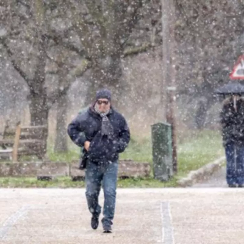
Weather maps have revealed that up to 21 counties in England could be hit by snowfall next week, with the West Midlands confirmed among the affected regions. A blanket of snow measuring 245 miles wide is predicted to pepper counties across the country on Friday, February 6, bringing wintry conditions to large parts of the nation.
Midlands Counties in the Firing Line
According to the latest forecasts, counties in the Midlands region are set to experience significant snowfall. This includes the West Midlands, Staffordshire, Shropshire, Worcestershire, and Warwickshire. Specific predictions indicate that up to 2.7cm (1 inch) of snow could fall on Birmingham at 3pm this Friday, while nearby areas in the Black Country, such as Dudley, Walsall, and Wolverhampton, might see up to 2.8cm (1.1 inches).
Full List of Affected Counties
The following 21 counties in England are braced for potential snowfall on that day:

- West Midlands
- Staffordshire
- Shropshire
- Worcestershire
- Warwickshire
- North Yorkshire
- Lancashire
- Greater Manchester
- West Yorkshire
- Derbyshire
- Cheshire
- Nottinghamshire
- Lincolnshire
- Leicestershire
- Rutland
- Northamptonshire
- Buckinghamshire
- Bedfordshire
- Norfolk
- Suffolk
- Gloucestershire
Met Office Long-Range Forecast
In its long-range forecast covering February 4 to 15, the Met Office has provided further insight into the weather patterns expected across the UK. The forecast states: "Frontal systems over the Atlantic, steered by a south-shifted jet stream, are likely to approach the UK at times, but tending to stall as they encounter a blocking area of high pressure to the north and northeast."
This meteorological setup is anticipated to result in additional spells of rain, particularly in areas already sensitive to flooding. As these bands of rain spread northwards, there is a possibility of snow in northern England and Scotland, mainly over higher ground, as they meet colder air.
The Met Office also notes: "A subtle shift southwards of these areas of low pressure is anticipated during the second week of February, which may allow a greater chance of colder air to spread across larger parts of the UK, including the south, bringing an increased risk of wintry hazards for a time." This suggests that the cold snap could extend further, potentially affecting more regions with snow and ice in the coming weeks.
Residents in the listed counties are advised to stay updated with local weather warnings and prepare for possible travel disruptions and hazardous conditions. The combination of predicted snowfall and ongoing weather patterns highlights the need for caution as winter continues to impact the UK.


