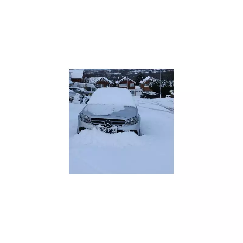
The Met Office has issued a stark warning for blizzard conditions and deep snow drifts to hit parts of the UK this Sunday, January 11. This follows the recent wintry blast from Storm Goretti, which blanketed much of the country earlier in the week.
Amber Alert for Heavy and Persistent Snowfall
Forecasters have escalated warnings, stating that a significant band of heavy and persistent snowfall will sweep across the country. An amber weather warning for snow has been issued and will be active from 3am until 2pm on Sunday, primarily covering areas of Scotland.
The Met Office detailed that snow will initially fall to low levels during Sunday morning before becoming concentrated over higher ground in the afternoon. The agency warned: "A band of snow will move across the warning area during Sunday morning and early afternoon."
Expected Snow Depths and Blizzard Risk
The predicted accumulations are substantial, particularly for elevated regions. The forecast indicates:
- 2 to 5cm of snow is likely at lower levels.
- 10 to 15cm is expected above 150 metres elevation.
- Locally, 20 to 30cm could settle on ground above 300 metres.
These significant totals will be exacerbated by strong winds, which are predicted to create blizzard conditions and cause drifting. The Met Office specifically cautioned that "deep drifts" are possible, significantly increasing the risk of travel disruption and isolation for some communities.
Areas Impacted and Further Hazards
The amber warning spans several Scottish regions. The areas impacted include:
- Central, Tayside & Fife: Angus, Perth and Kinross, Stirling.
- Grampian: Aberdeenshire, Moray.
- Highlands & Eilean Siar: Highland.
As the afternoon progresses, the snow is expected to turn to sleet and then rain across lower areas before the system clears. While this will help melt some snow, it introduces a new danger. The Met Office highlighted that this rapid thaw increases the risk of localised flooding.
Residents in the affected regions are urged to prepare for difficult travel conditions, check for updates, and consider altering any non-essential plans for Sunday. The combination of heavy snowfall, high winds, and subsequent flooding risk presents a multi-faceted severe weather event for the start of the new week.


