
The Midlands is set to face a rare and potentially dangerous weather phenomenon this Sunday, as forecasters confirm a significant risk of freezing rain across the region.
What is freezing rain and why is it so dangerous?
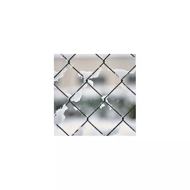
The Met Office has issued a stark warning for Sunday, January 11, highlighting the unusual threat. Freezing rain occurs when supercooled water droplets fall from the sky and freeze instantly upon contact with cold surfaces on the ground. This creates a clear, slippery layer of ice known as glaze.
This phenomenon is considered 'extremely hazardous' and is uncommon in the UK due to the very specific atmospheric conditions required for it to form. The resulting ice can coat roads, pavements, vehicles, and power lines with a treacherous, glass-like finish.

Specific forecast for the West Midlands
In its detailed forecast for the West Midlands, the Met Office predicts a cold day with outbreaks of rain and some hill snow, which will turn mostly to rain by the afternoon. However, embedded within this will be the critical risk of freezing rain.
The official forecast states: "A risk of freezing rain could lead to some icy stretches. Feeling cold. Maximum temperature 6°C." This presents a major hazard for road users and pedestrians, as surfaces can become akin to an ice rink with little warning.
Wider impacts and the outlook for next week
The dangers extend beyond travel disruption. The Met Office notes that the weight of the accumulated ice can be heavy enough to bring down trees and power lines, leading to potential damage and outages. The hazard also applies to aviation, where ice accumulation on aircraft wings is a serious concern.
Looking ahead to the start of the working week, conditions are expected to turn milder from Monday, January 12, to Wednesday, January 14. The forecast indicates periods of heavy showers or longer spells of rain, with winds strengthening at times. Some brighter, drier interludes are also possible amidst the unsettled pattern.
Residents across the Midlands are advised to stay updated with the latest Met Office warnings and to exercise extreme caution if travelling on Sunday, particularly in the morning, when the risk of icy stretches will be at its highest.


