
The Met Office has issued a significant weather alert, naming all 42 UK areas that are set to face a rare and hazardous phenomenon of freezing fog on Monday morning. This alert comes as part of yellow weather warnings that have been activated, highlighting risks across extensive regions including Northern Ireland, south west England, and Wales.
Details of the Weather Warnings
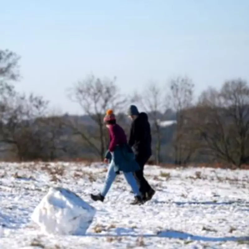
According to the Met Office, the conditions are expected to develop due to a combination of factors. With surfaces remaining wet from recent rainfall and temperatures dropping close to or below freezing, there is a high likelihood of icy patches forming on untreated surfaces. This risk is anticipated to persist from Sunday night into the early hours of Monday morning.
The forecast indicates that cloud cover increasing from the east later in the night might allow temperatures to recover slightly. However, it is expected to remain cold, particularly in western areas, with an ongoing ice risk that could impact the morning commute. Additionally, patches of freezing fog may emerge, posing an extra hazard for travellers and residents.

Timing and Coverage of the Alerts
The yellow weather warnings officially came into effect from 9pm on Sunday night and are scheduled to expire at 9am on Monday morning, February 2. This timing underscores the urgency for people in the affected areas to take precautions, especially during the early part of the day.
In a broader weather context, this alert coincides with predictions of a potential 'Beast from the East' snow storm that is forecasted to hit the UK in the coming days. Weather models, such as the GFS, suggest that snow could begin moving across the country from the east on February 5, initially affecting the south-east and East Anglia regions.
By the evening of February 5, maps indicate that London might experience snowfall around 6pm, with the storm expected to spread across eastern, central, and southern England by 9pm. Further projections show that flurries could reach northern Scotland and Wales by 6am on February 6, adding to the overall winter weather challenges.
Full List of Affected Areas
The Met Office has specified the following areas under the ice warnings, covering a wide geographic spread:
- Hampshire
- Isle of Wight
- Portsmouth
- Southampton
- Bath and North East Somerset
- Bournemouth Christchurch and Poole
- Bristol
- Cornwall
- Devon
- Dorset
- North Somerset
- Plymouth
- Somerset
- South Gloucestershire
- Torbay
- Wiltshire
- Blaenau Gwent
- Bridgend
- Caerphilly
- Cardiff
- Carmarthenshire
- Ceredigion
- Conwy
- Denbighshire
- Gwynedd
- Isle of Anglesey
- Merthyr Tydfil
- Monmouthshire
- Neath Port Talbot
- Newport
- Pembrokeshire
- Powys
- Rhondda Cynon Taf
- Swansea
- Torfaen
- Vale of Glamorgan
- County Antrim
- County Armagh
- County Down
- County Fermanagh
- County Londonderry
- County Tyrone
Residents and commuters in these regions are advised to stay updated with the latest weather forecasts and exercise caution during this period of adverse conditions.


