The Midlands faces a fresh wave of severe winter weather, with forecasters issuing a new 13-hour alert for snow and ice just days after the deadly impact of Storm Goretti.
What the Met Office warning says
The yellow weather warning will be active from 2am until 3pm on Sunday, January 11, 2026. It covers large parts of the West and East Midlands, specifically targeting Staffordshire and Derbyshire.
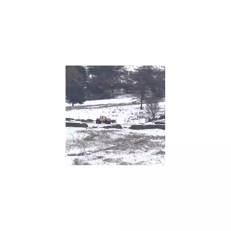
A band of snow is forecast to sweep across the region on Sunday morning. Forecasters predict accumulations of 2 to 5cm at lower levels. However, on higher ground above 200 metres – particularly in the Peak District – totals could reach 10 to 20cm, with the potential for up to 30cm on the highest peaks exposed to strong southerly winds.
Disruption and dangerous conditions expected
The Met Office warns that conditions will become "awkward" as the snow band pushes eastwards in the afternoon, turning to a mix of rain, sleet, and snow. This transition, combined with strong winds, will lead to snow drifting and widespread icy surfaces on untreated roads and pavements.
The new alert compounds existing problems caused by Storm Goretti, which claimed the life of a man in his 50s in Cornwall and left thousands without power. As of Saturday morning, around 1,700 homes in the West Midlands were still without electricity according to National Grid.
Ongoing travel chaos and flood risk
Travel networks remain severely disrupted. Multiple rail operators, including West Midlands Railway, CrossCountry, and Transport for Wales, are running altered services. National Express West Midlands had earlier suspended all bus services due to hazardous roads, and motorists are being urged to travel only if essential during Sunday's warning period.
Official snow depths recorded after the storm reached 16cm in Powys and 8cm in Nottingham, with temperatures plunging to -12.3°C in the Scottish Highlands. The Met Office also cautions that melting snow combined with incoming rain on Sunday will heighten the risk of localised flooding.


