
Advanced weather modelling indicates the United Kingdom is set for another severe bout of wintry weather, with a significant blizzard potentially sweeping across the country next weekend. Major cities, including London and Birmingham, could see fresh snowfall, according to the latest data.
Snow Maps Predict Widespread Disruption
The GFS weather model suggests a powerful wintry front will arrive on Sunday, January 18, 2026. This comes just days after the destruction caused by Storm Goretti, which brought record-breaking 99mph winds and led to a tragic death in Cornwall.
Detailed charts from WXCharts show the weather system moving rapidly eastward in the early hours of that Sunday. By 3:00 am, snow is predicted to be falling across London and Essex, following intense snowfall over most of Wales.

Which Areas Will Be Hit Hardest?
Snow coverage maps suggest the blast could deposit settled snow across much of southern England and a significant portion of the Midlands. Parts of Birmingham are specifically highlighted as being at risk.
The northern UK will not escape, with central and northern Scotland forecast to be almost entirely blanketed. Residents in Glasgow and Edinburgh should also prepare for wintry flurries as the system passes through.
Conflicting Forecasts and Official Warnings
While the GFS model predicts a significant snow event, the BBC Weather outlook is more tempered. They suggest the week will remain unsettled but with temperatures near or above average. Their forecast indicates any laying snow may thaw quickly, though a "potent low-pressure system" is possible late in the week.
The Met Office's current focus for the period January 15 to 24 is on Atlantic low-pressure systems bringing showers or longer spells of rain. They anticipate changeable conditions with temperatures close to or slightly above average, but warn that periods of strong winds and gales remain possible.
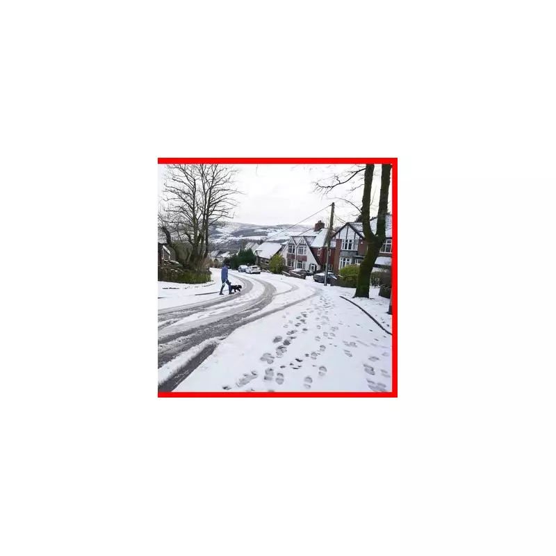
Emergency services remain on high alert following the recent storm, and local authorities across the Midlands and South are being urged to maintain grit supplies and emergency readiness. The hazard of "black ice" and freezing rain on untreated roads and pavements is a major concern after recent sub-zero temperatures.


