
The Met Office has issued a significant yellow weather warning for ice, covering a large swathe of the Midlands and parts of Yorkshire. The alert is set to be in force for eight hours on Sunday, January 11, with travel disruption expected due to hazardous conditions.
Timing and Nature of the Hazard
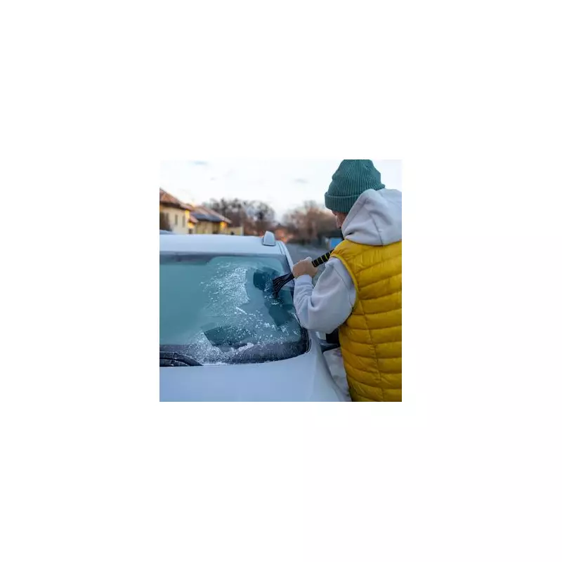
The warning period runs from 3am until 11am on Sunday morning. Forecasters predict a band of rain, sleet, and snow will move eastwards across the region during this time. The key danger is that this precipitation will fall onto surfaces with temperatures below freezing, leading to the rapid formation of ice on untreated roads, pavements, and cycle paths.
While significant snow accumulations are expected to be limited, the Met Office notes that a few centimetres are possible over higher routes, particularly in the Pennines and the Yorkshire Wolds. The main threat, however, is widespread ice, which poses a serious risk to pedestrians and drivers alike.

Areas Under the Warning
The ice warning encompasses numerous local authorities. Residents and travellers in the following areas are advised to exercise extreme caution:
East Midlands:
- Derby
- Derbyshire
- Leicestershire
- Lincolnshire
- Nottingham
- Nottinghamshire
Yorkshire & Humber:
- East Riding of Yorkshire
- Kingston upon Hull
- North East Lincolnshire
- North Lincolnshire
- North Yorkshire
- South Yorkshire
- West Yorkshire
- York
Expected Impact and Later Improvement
The Met Office states the icy conditions could lead to some disruption on Sunday morning. This is likely to include difficult driving conditions, longer journey times, and an increased risk of slips and falls.
There is some better news on the horizon. The forecast indicates that temperatures will begin to rise from the west later on Sunday morning. As the milder air moves in, any remaining snow will turn to rain and the ice will start to melt, reducing the hazard. Nonetheless, the public is urged to take care during the warning period, plan ahead for journeys, and allow extra time for travel.


