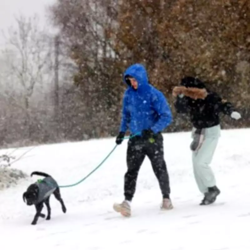
The Met Office has issued a significant weather warning, highlighting an elevated risk of snow across the United Kingdom as the calendar turns to February. Forecasters are predicting that the onset of the new month could bring a return of wintry conditions to several regions, with the initial alert covering the period from February 2nd to February 10th.
Chilling Forecast for Early February
According to the national weather service, temperatures are expected to drop notably during this timeframe, creating conditions conducive to snowfall. The long-range forecast indicates that the period will begin with weather patterns similar to current unsettled conditions, featuring showers, prolonged rain for many areas, and occasionally strong winds.
Regional Snowfall Expectations
The Met Office has specified that while flurries are more probable in northern parts of the country, there remains a distinct possibility that the white stuff could also descend over the Midlands. The forecast for February 2nd onwards states: "This period will start off in a similar vein to current conditions. This means largely unsettled weather is expected, with showers or longer spells of rain for many places and occasionally rather windy. Some hill snow is likely in the north too."
Temperatures during the initial phase are anticipated to hover around average for most regions, though the far northeast may experience notably colder conditions. However, a significant shift is predicted during the latter half of this weather window.
Escalating Cold and Snow Potential
The meteorological service notes that winds are likely to change direction to a more easterly or northeasterly flow, which typically ushers in colder air masses from continental Europe. This atmospheric adjustment is expected to intensify the chill factor across the UK.
The updated forecast explains: "A subtle change is now looking likely during the second half of this period, as the winds look like backing off to more of an easterly or northeasterly direction. It is likely to remain largely unsettled, especially towards the south, but it is likely to become colder with an increasing risk of snow, more particularly in the north. An often brisk wind will accentuate the colder feel too."
This development suggests that while southern areas may continue to experience unsettled weather, the combination of dropping temperatures and moisture will heighten the likelihood of snowfall, particularly across northern territories. Residents are advised to stay informed about local weather updates and prepare for potential travel disruptions as February begins.


