
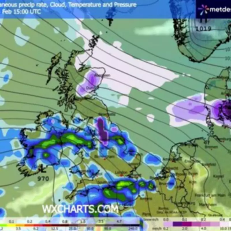
The Met Office has activated a significant yellow weather warning for snow, covering ten specific regions across northern England and the Midlands. This alert is scheduled to be in effect from 3pm on Thursday through to 3am on Friday, with forecasters predicting potential travel disruption as rain transitions to snow over elevated areas during the afternoon and evening.
Snowfall Predictions and Regional Impact
Whilst sleet and snow may affect lower-lying areas during the evening, the most substantial accumulations are anticipated on higher ground. Locations situated above 250 to 300 metres could see up to 5cm of snow, with areas beyond 500 metres potentially receiving accumulations of up to 15cm. The Met Office indicates that the majority of this snow is expected to thaw throughout Friday morning.
Regions Under the Snow Warning
The weather warning specifically encompasses the following regions:

- East Midlands
- North East England
- North West England
- Yorkshire and Humber
Concurrent Avalanche Warnings in Scotland
Separately, the Scottish Avalanche Information Service (SAIS) has issued avalanche danger warnings for six mountain ranges across the Scottish Highlands. The Cairngorms have been categorised with a "considerable" threat level, where natural avalanches may occur, potentially being large or very large in isolated cases. The SAIS notes that a single individual could likely trigger an avalanche on steep slopes in this area.
Creag Meagaidh in the Central Highlands faces a "moderate" avalanche risk, where human-triggered avalanches are deemed possible. For zones with "considerable" or "moderate" danger, mountaineers are advised to utilise safer mountain features like ridges and scoured slopes, while maintaining awareness of visibility, route selection, and group management.
Glencoe, Lochaber, and Torridon in the West and Northwest Highlands are under a "low" avalanche risk, indicating that only small to medium avalanches are possible. In these lower-hazard zones, human-triggered avalanches would typically require multiple individuals in isolated, steep terrain, and journey conditions are generally considered safe.
Broader UK Weather Forecast
The Met Office is forecasting "cloudy and wet" conditions across much of the UK today, with some brighter intervals expected in the northwest. Rainfall is anticipated across southern and southwestern England, south Wales, and eastern Scotland.
Snow is probable on hills in the north, where it will be "cold and windy", with additional rain and snow forecast later. Looking ahead to Friday, the national weather service predicts rain in most areas, with snow persisting on northern hills, and generally rather windy conditions. Brighter weather is expected in the northwest, with bright spells but heavy showers likely towards the southwest.


