
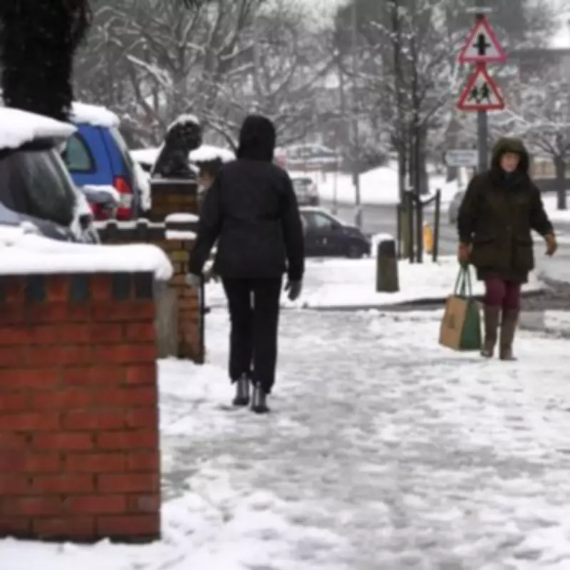
The Met Office has released a detailed forecast outlining which specific areas across the United Kingdom are expected to avoid snowfall entirely during the upcoming weekend. While northern regions, the north east, hilly areas, and Scotland are anticipated to receive a light dusting of snow, meteorologists have highlighted several parts of the country that will experience significantly brighter and milder conditions.
Regions Set for Brighter Weekend Conditions
According to the latest five-day forecast from the Met Office, a number of regions will be spared from the wintry flurries predicted for Saturday and Sunday. These areas are instead forecast to encounter bands of rain, occasional showers, or drier spells, with some potentially enjoying brighter intervals. The specific locations identified as likely to escape the snow include the south west of England, the north west of England, the east of England, the south east of England, the West Midlands, and the East Midlands.
Detailed Weekend Weather Outlook
The Met Office indicates that Friday, January 30, will be characterised by rather cloudy and breezy conditions, with rain moving northwards. This precipitation is expected to turn to snow over some northern hills. However, the south may see briefly brighter weather, though heavier rain and strong winds are forecast to develop from the south and west during the afternoon. Temperatures are predicted to feel rather cold in the north.

For the weekend itself, the forecast suggests that bands of rain or showers will affect many areas, with some heavy bursts anticipated across the southwest. Some drier spells are possible, particularly towards the northwest where a local frost could occur. Conditions are likely to remain often cloudy, with a few brighter spells potentially in the east. Outbreaks of light rain and drizzle are possible almost anywhere, while heavier rain and showers in the southwest are expected to edge slowly northwards.
Unsettled Pattern to Continue
The Met Office further warns that the unsettled weather is set to persist into Sunday and the start of the following week. Showers or longer spells of heavy rain are forecast to affect most areas, accompanied by brisk winds at times. This continues a pattern of exceptionally wet weather noted by independent forecasters.
Nick Finnis from Netweather TV commented on the broader context, stating, "January 2026 has been an exceptionally wet month for much of the UK, with some regions receiving more than triple their average monthly rainfall. This follows a record-dry 2025." He added that while the heavy rain has been welcome in redressing last year's deficit, the intensity and volume falling in a short period have contributed to widespread flooding issues across the country.


