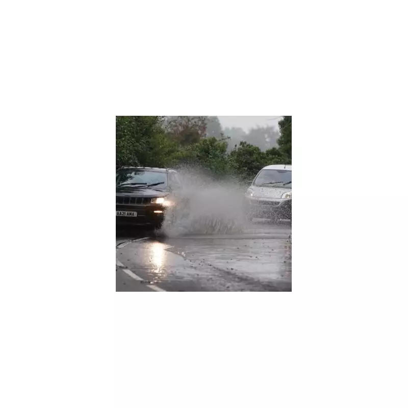
The Met Office has issued an urgent warning to households across 26 specific areas of the United Kingdom, advising them to assemble an emergency kit before 9am on Thursday. The national weather service cautions that further heavy rainfall on already saturated ground is likely to trigger surface water flooding.
Immediate Action Required for At-Risk Regions
In a yellow weather warning for flooding, the Met Office explicitly advised residents to prepare for potential power cuts. The advisory, issued on Tuesday, 13th January 2026, urges people to gather essential items including torches, batteries, and a mobile phone power pack. The warning stresses that advance preparation significantly improves the ability to cope with disruptions caused by severe weather.
The list of affected regions and local authorities is extensive, covering a large swathe of southern and western England. The areas under the warning are:
- Brighton and Hove, East Sussex, Hampshire, Isle of Wight, Oxfordshire, Portsmouth, Southampton, Surrey, West Berkshire, West Sussex.
- Bath and North East Somerset, Bournemouth Christchurch and Poole, Bristol, Cornwall, Devon, Dorset, Gloucestershire, North Somerset, Plymouth, Somerset, South Gloucestershire, Swindon, Torbay, Wiltshire.
- Herefordshire and Worcestershire.
Detailed Weather Forecast and Further Outlook
The forecast for Wednesday, 14th January, predicts a cloudy day in the south with outbreaks of rain and drizzle. Other regions will see a dry start, but a band of rain is expected to move into western areas later in the afternoon.
The outlook from Thursday through Saturday indicates further unsettled conditions. The Met Office states: "Further rain through the coming week. Temperatures around average in the south, but cold in the north. A spell of heavy rain and strong winds possible on Thursday night." This aligns with concerns about the ground's capacity to absorb more water, heightening the flood risk.
Broader Weather Context for the Week
Commenting on the overall pattern, the BBC Weather team noted that Monday and Tuesday would be relatively mild with gusty winds and changeable conditions. They forecast scattered showers and some heavy, potentially thundery bursts, most likely in the south-west.
The team added that the rest of the week should remain unsettled, with temperatures near or above the January average, meaning any lying snow should thaw quickly. They also highlighted the approach of a "potent low pressure system" late in the week, which could bring the heavy rain and strong winds referenced in the Met Office warning. Any snow is expected to be confined to higher ground in northern Scotland.
Residents in the listed areas are strongly encouraged to heed the Met Office advice and prepare their emergency kits promptly to ensure safety and resilience during the anticipated severe weather on Thursday.


