
Meteorological data from WX Charts has triggered a significant weather alert across the United Kingdom, forecasting a widespread 'snow bomb' event set to blanket a vast 548-mile radius. The exact start date for this major wintry incursion has now been announced, with conditions expected to deteriorate rapidly.
Forecast Maps Pinpoint Widespread Snowfall
Detailed maps and charts from the forecasting service indicate the onset of severe winter conditions in multiple regions of England and Scotland, commencing on January 30. The visual data reveals expansive purple and white patches, which are the standard meteorological indicators for significant snowfall accumulation.
Targeted Regions in England and Scotland
The forecast models predict the heaviest snow will impact a broad swathe of Northern England and Scotland. In England, the counties expected to be most affected include:

- Cumberland
- Northumberland
- Westmoreland
- Lancashire
- Cheshire
- West Yorkshire
- Greater Manchester
- Derbyshire
- Staffordshire
- Nottinghamshire
Across Scotland, the snowfall is forecast to be particularly heavy in areas such as Dumfries and Galloway, Ayrshire, Lanarkshire, the Highlands, Perth and Kinross, Angus, Stirling, Argyll and Bute, and Aberdeenshire.
Temperature Plunge and Geographic Scope
The geographic scale of this weather event is substantial, with the snow zone stretching approximately 548 miles from south Staffordshire all the way to Wick on the northern tip of Scotland. Accompanying the snowfall, temperatures are projected to plummet, with areas in Scotland potentially experiencing lows around -3°C during the peak of the event.
Official BBC Weather Outlook
The BBC Weather forecast for the immediate period provides further context. For Thursday, January 29, the outlook states: "Tonight will be breezy, with a band of patchy rain pushing north-east across the UK. This will fall as snow on high ground in Northern England and Scotland."
It continues for Friday: "Tomorrow will see rain and snow push north-east, with a drier interlude across England before another band pushes up from the south-west in the evening and overnight. Winds easing a little."
Extended Forecast: Unsettled Conditions Prevail
The outlook from Saturday to Monday suggests the volatile weather pattern will persist. Saturday is expected to be mostly cloudy with rain and showers continuing in Scotland, while southern areas may see some sunny spells develop.
Sunday will likely bring a largely cloudy day with patchy rain in places, mainly affecting northern and eastern regions, with only limited brighter breaks. The forecast indicates it will remain breezy, with further spells of rain moving north-west on Monday.
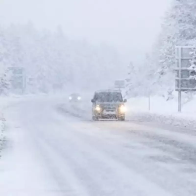
This impending snow bomb event follows a notably unsettled start to January 2026, which began with a harsh Arctic blast delivering biting temperatures and widespread snow. That initial cold spell quickly gave way to a period of volatility characterised by heavy rain and localised flooding as milder Atlantic air masses moved across the country. Residents across the identified regions are advised to monitor official updates and prepare for potential travel disruption and hazardous conditions.


