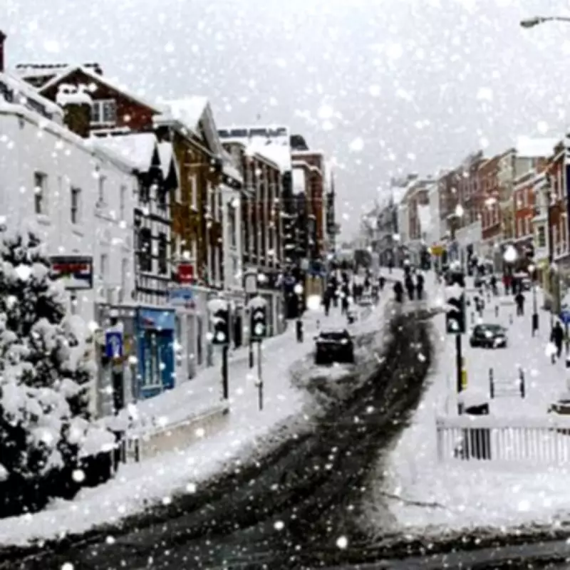
The Met Office has released a comprehensive weather forecast indicating that significant snowfall is expected across various regions of the United Kingdom this Friday. Meteorological experts have detailed specific areas where wintry precipitation is most likely to occur, with particular emphasis on northeast Scotland.
Detailed Forecast for Friday's Snowfall
According to the latest meteorological data, multiple areas of low pressure are continuing to move eastwards across the Atlantic Ocean throughout this week. These weather systems are predicted to decelerate as they encounter a substantial blocking area of high pressure situated over eastern Europe. This atmospheric interaction is expected to create conditions conducive to snowfall in several UK regions.
Specific Regions Affected
The Met Office has specifically identified northeast Scotland as a primary area facing snow accumulation. Forecasters have noted that tonight, low cloud and fog will redevelop across many central and eastern areas, accompanied by patchy rain and some hill snow in northeast Scotland. The southwest will experience breezy conditions with scattered showers, while clearer intervals elsewhere may allow frost to form.
Weather System Progression
Matthew Lehnert, Chief Meteorologist at the Met Office, provided additional context: "On Thursday, showers in southwest England will be replaced by a more organised area of rain when the next system reaches the south of Cornwall around Thursday lunchtime. There's a Yellow Warning for rain in place from noon until Friday morning, with the focus for heavier rain across southwest England as the wet conditions spread northeast across the warning area."
Lehnert further explained: "The rain is only likely to last for a few hours in each location but will be heavy at times. 10 to 15 mm is likely quite widely, but in some areas, particularly towards the south coast, a further 20 to 25 mm is possible. This rain will fall onto already saturated ground, compounding the impacts of Storm Chandra, so we're encouraging people to stay up to date with the latest forecast and follow any advice from the emergency services and local authorities."
Broader Weather Implications
The meteorological situation could result in additional spells of rain, particularly in the southwest, as well as hill snow across parts of northeast Scotland. The combination of these weather patterns creates a complex forecast scenario that requires careful monitoring by both meteorological services and the general public.
Residents in affected areas are advised to prepare for potential travel disruptions and take necessary precautions as the weather systems develop throughout the week. The Met Office continues to monitor the situation closely and will provide updates as new information becomes available about the evolving weather patterns across the United Kingdom.


