The United Kingdom is preparing for a double dose of severe winter weather, with forecasters warning of two separate 'snow bomb' events set to strike over the festive period. New weather maps indicate significant snowfall and plunging temperatures, threatening travel disruption for many.
First Snow Bomb Targets Festive Travel
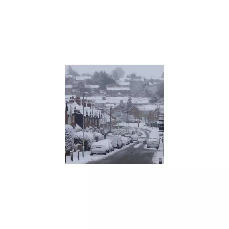
According to data visualised by WX Charts, the first major snowfall is projected to hit the country on Friday, December 27, continuing into Saturday, December 28. The charts, which utilise Met Desk data, show a band of snow covering large parts of England.
The areas most at risk from this initial blast include:

- Greater London and the capital city itself.
- Surrey.
- Eastern regions such as Norfolk, Suffolk, Essex, and Sussex.
Sub-Zero Temperatures and New Year Snow
During these snow events, temperatures are forecast to plummet to a biting -3°C in some areas. Widespread lows of -2°C to -1°C are expected across southern England.
A separate forecast model suggests the wintry weather could make an unwelcome return as the new year begins. Advanced modelling from the GFS (Global Forecast System) indicates a potential second snow event around New Year's Day, January 1.
BBC Weather's Longer-Range Outlook
The BBC Weather forecast for the period from Monday, December 29 to Sunday, January 4 describes the conditions as "rather cold but drier than normal." In its update issued on Friday, December 19, the broadcaster highlighted significant uncertainty but a strong trend towards cold weather.
"The details through the New Year and into January have some uncertainty," the forecast stated. "However, it is most likely [that high pressure will] drift westwards... This would mean a continuation of rather cold conditions, with a period of north-east to north-westerly winds."
These winds could bring showers, turning wintry over higher ground and potentially to low levels in northern regions, especially Scotland. The BBC added that even if the weather pattern shifts, cold conditions are still more likely than a return to milder weather.
Temperatures are expected to remain below the January average, bringing widespread frosts and an increasing risk of fog, particularly if winds ease. Residents across the highlighted regions are advised to stay updated with the latest forecasts and prepare for potential travel delays as the festive period unfolds.