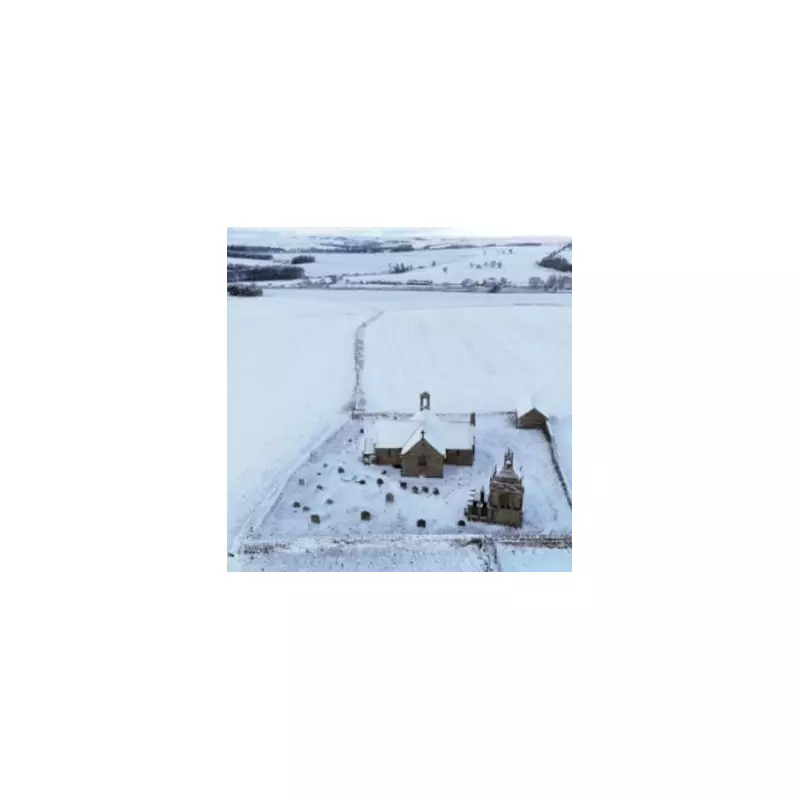
The United Kingdom is preparing for a significant and widespread winter weather event, with forecasters predicting a colossal 539-mile wall of snow to sweep across the country next week. Fresh data suggests that all four Home Nations will be affected, with some areas potentially seeing accumulations of up to 30 centimetres.
Nationwide Snowfall: Which Areas Are Most at Risk?
According to projections from WX Charts, which utilises the GFS (Global Forecast System) model, the impending wintry blast is set to impact a vast swathe of the UK. The maps for Wednesday, January 7, indicate that Scotland's 32 counties could be blanketed by the heaviest falls, with the potential for 30cm of snow.
In England, a large area from the North East to the North West and the Midlands is expected to be hit hard. Counties identified as being at particular risk include:
- Northumberland
- Cumbria and Lancashire
- North Yorkshire
- Merseyside and Greater Manchester
- Cheshire, Shropshire, and Staffordshire
The forecast extends to Wales, where 16 counties could see significant snowfall, and to the whole of Northern Ireland. In total, 63 counties across the UK are expected to be affected by the flurries, creating a major disruption event.
Immediate Warnings and Cold Snap Context
This major system follows an immediate cold snap. On Friday, January 2, the Met Office issued a yellow weather warning for snow and ice for Birmingham and the West Midlands. Netweather TV's forecaster, Nick Finnis, explained that cold Arctic air is now established over the UK, bringing temperatures well below average, widespread frost, and an increasing risk of snow showers.
"The cold conditions linger into next week and with it the risk of snow showers towards coasts," Finnis stated. He added that there is uncertainty about whether Atlantic systems will push the cold air away from the middle of next week, meaning the frigid conditions could persist, particularly in the north or for all parts of the UK.
Travel Hazards and Ongoing Risks
Residents are being urged to prepare for hazardous conditions. The Met Office has a separate yellow warning in force for parts of Scotland from 6am on January 2 until midnight on January 3, where local accumulations of 10cm are possible, with over 20cm on ground above 200 metres.
The primary risks associated with this severe weather event are:
- Significant travel disruption due to snow-covered roads and railways.
- A widespread risk of ice, making pavements and untreated surfaces extremely slippery.
- The potential for rural communities to become cut off if snowfall is particularly heavy.
With the 539-mile snow vortex predicted to span the length of the country, authorities are advising the public to monitor the latest forecasts and warnings, plan essential journeys carefully, and check on vulnerable neighbours as the severe winter weather takes hold.


