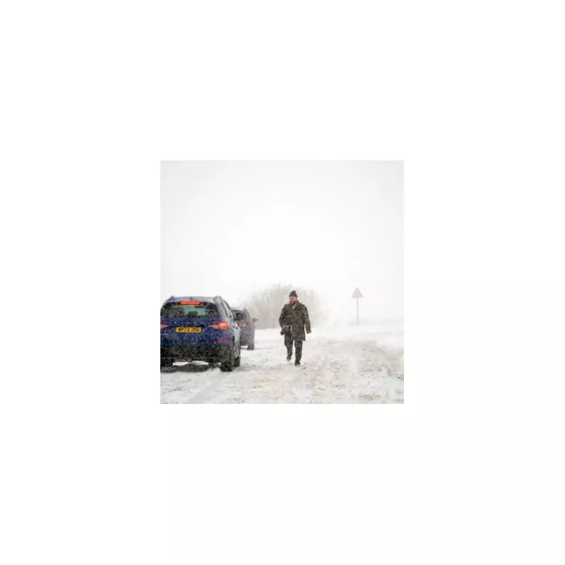
The United Kingdom is preparing for a significant winter onslaught, with forecasters upgrading a predicted "snow bomb" to blizzards expected to hammer parts of the country for a prolonged period next week.
Severe Weather Timeline and Impact
According to the latest data from WX Charts, which utilises Met Desk information, the most severe conditions are set to strike from 9pm on Monday, December 15, lasting for approximately 21 hours. The initial brunt of the wintry weather will target Scotland, with flurries expected to sweep southwards into areas of the Pennines and the Lake District.
From December 15, a marked deterioration in conditions is anticipated. North Wales, southern Scotland, and Ireland are all forecast to see a dusting of snow, with impacts stretching from Snowdonia across to Dublin. This has led several national media outlets to characterise the incoming system as a potential "blizzard".

Christmas Outlook and Current Conditions
Looking further ahead towards the festive period, the Met Office forecast for December 16 onwards suggests a shift. The prediction indicates a greater chance of high-pressure systems developing, which would bring more settled and drier weather compared to the unsettled start to the month.
This pattern increases the likelihood of overnight frost and fog. However, the forecast also notes that spells of rain, showers, and stronger winds remain possible, particularly in western regions. Hill snow, mainly in the north, is also a possibility during this time. Temperatures are expected to be near or slightly above average, though colder spells could develop.
Immediate Weather Forecast
In the immediate term, the BBC Weather team reports a day of variable cloud and scattered showers drifting in from the south-west, primarily affecting western and southern areas. Eastern regions will see drier conditions with bright spells, and it will be breezy across the country.
Tonight, scattered showers will continue to feed into western areas and English Channel coasts under southerly winds. Most other regions will be mainly dry with clear spells, though the odd shower cannot be ruled out entirely.