Large swathes of England are bracing for a significant winter onslaught, with fresh weather data indicating a potential heavy snowfall event in the second week of January 2026. This follows a series of cold alerts from the Met Office and threatens to extend the wintry start to the new year.
Snow Maps Turn Purple for Northern England
Forecast maps from WX Charts depict a concerning picture for Friday, 9 January. A vast band of purple, representing snowfall, is shown engulfing the top half of the country, stretching from the Midlands northwards to the Scottish border. This visualisation suggests a substantial weather system capable of delivering widespread disruption.
Among the areas under the deepest cover is South Yorkshire, where projections are particularly severe. Data from wxcharts.com indicates the region could see an astonishing 24.1 centimetres (9.5 inches) of snow falling every hour around midday on the 9th. Birmingham is also in line for a covering, with forecasts suggesting around 2.4cm per hour arriving by the evening.

Met Office Long-Range Forecast Warns of Uncertainty
The new snow risk emerges as the Met Office's existing warnings for snow and ice in the first week of January remain in effect. In its official outlook covering 6 to 15 January, the national forecaster states that while the initial cold spell should ease mid-week, the danger is not over.
The forecast explains: "Bands of rain seem likely to gradually move in off the Atlantic and, as these encounter the cold air entrenched over the UK, some further snowfall is possible, particularly in central and eastern areas." It highlights that from the weekend of 10-11 January, the situation becomes more uncertain, but spells of snow remain possible, especially for northern and central regions.
Preparing for a Prolonged Wintry Spell
The combination of immediate warnings and the longer-range prediction points to a prolonged period of wintry hazard. The Met Office notes that milder, wetter interludes are more likely in the south and west, but these could themselves lead to further disruption in the form of heavy rain and strong winds where they meet colder air.
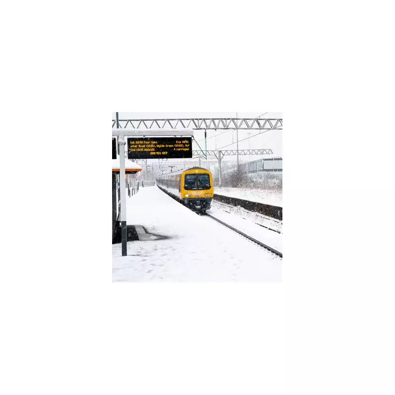
Residents across the highlighted regions, particularly in areas like the West Midlands and South Yorkshire, are advised to monitor the latest forecasts and warnings closely. The potential for rapid, heavy snowfall poses significant risks to travel, infrastructure, and daily routines, signalling a challenging start to 2026 for much of England.