Fresh weather data has revealed the specific areas of England bracing for snowfall within the next three days, as a frigid Arctic air mass is poised to strike the UK.
Widespread Snowfall Expected
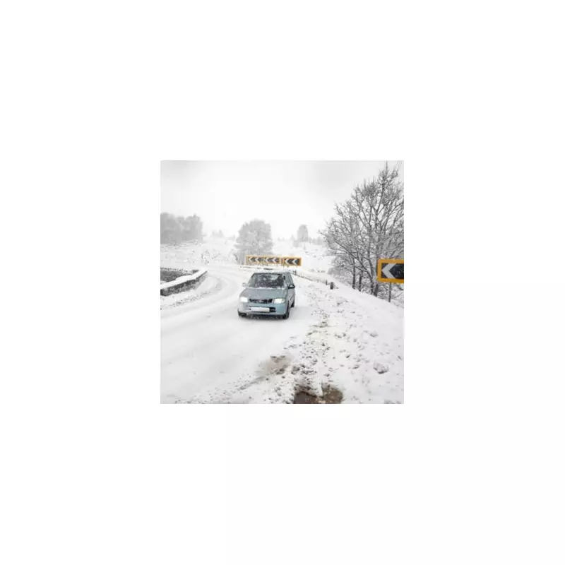
According to detailed charts from WX Charts, which utilises Met Desk data, a significant downturn in conditions is expected from December 5. The incoming cold snap, described as an Arctic bomb, is forecast to bring blizzard conditions and accumulating snow to parts of the country.
The most likely window for wintry precipitation is around December 5 and 6, with temperatures forecast to drop to a biting -2C in some regions. While the Scottish Highlands and North Wales are anticipated to be hit, several counties in the North East of England are also in the firing line.

Regions on Alert
In England, the counties identified for potential snow include Cumbria, Durham, Northumberland, Lancashire, and Greater Manchester. North of the border, areas such as Dumbartonshire, Aberdeenshire, Angus, Moray, Stirling, and Perth and Kinross are also at risk of significant accumulations.
The BBC Weather team indicates that the change will begin with cloudier skies in the north and far west on Wednesday, with showers moving in from the west. The south-east should remain mostly dry and bright initially.
Unsettled Week Ahead
The outlook from Thursday to Saturday points to increasingly unsettled weather. Overnight into Thursday, a band of rain is expected to sweep across the UK, turning conditions wet and breezy for many, though the far north may stay dry.
Friday may start mostly dry but dull, but rain is predicted to move into the south-west later, accompanied by strengthening winds. Saturday is expected to remain unsettled and showery.
Longer-range analysis from Netweather TV suggests the first half of December will be dominated by changeable and often unsettled conditions, driven by successive Atlantic low-pressure systems. This pattern brings a risk of heavy rainfall and potential flooding, particularly in western areas, alongside periods of strong winds that could be severe enough to warrant named storms.
While temperatures are generally expected to be around or slightly above average initially, any colder polar maritime air behind the clearing lows could bring snow to northern hills. Looking further ahead to the second half of the month, forecasters note a greater potential for blocking high pressure to develop, which could bring more settled—and potentially colder—conditions, increasing the risk of frost and wintry precipitation.