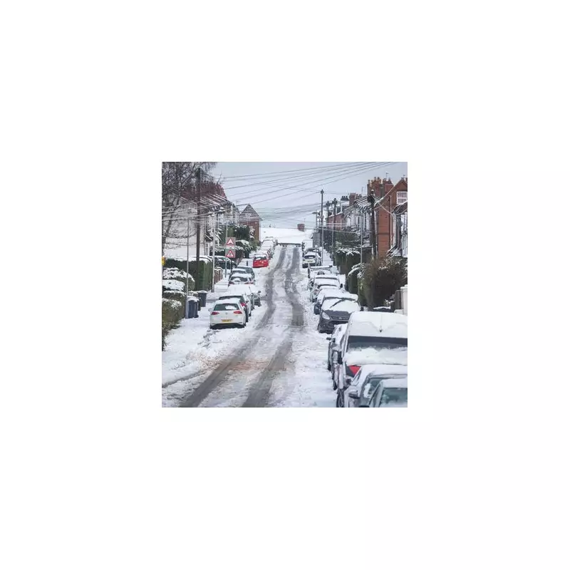
Birmingham is preparing for a significant weather event as forecasters predict a concentrated three-hour snow blast that could deposit almost 13 centimetres across the city next Tuesday. This anticipated snowfall would mark the third such event in January, continuing what has already been a notably wintry start to the year for the West Midlands.
Detailed Timeline of the Snowfall
According to data from WX Charts, which utilises MetDesk information, the snow is expected to begin in the early hours of Tuesday, January 27. Initial flurries are forecast to start around 3am, with approximately 1.6 centimetres predicted to dust the city's streets and pavements.
Peak Intensity Period
The situation is expected to intensify dramatically between 6am and 9am. During this critical three-hour window, snowfall rates could reach 4.3 centimetres per hour, potentially accumulating to a total of 12.9 centimetres across Birmingham. Weather maps illustrate this heavy band of precipitation remaining stationary over the city throughout the morning period.
Further Snow Predictions for the Week
Beyond the main Tuesday morning event, meteorologists have identified several additional periods of lighter snowfall through the remainder of the week:
- Tuesday evening at 9pm: 0.4cm predicted
- Wednesday at midnight: 0.2cm predicted
- Wednesday at midday: 0.4cm predicted
- Wednesday evening at 6pm: 0.1cm predicted
- Thursday at midday: 0.1cm predicted
These subsequent flurries, while less intense, would contribute to what is shaping up to be an exceptionally snowy January for Birmingham residents.
Context and Broader Weather Patterns
This forecast follows Birmingham's recent experience with Storm Goretti earlier in January, which already delivered significant wintry conditions to the region. The Met Office's long-range forecast for the period spanning January 25 to February 4 suggests a complex weather pattern developing across the UK.
The national weather service indicates that Atlantic weather systems will continue to approach from the west but are likely to stall near the UK due to high-pressure systems to the north and northeast. This atmospheric setup creates conditions conducive to persistent precipitation, with the Met Office specifically noting:
"Whilst mild conditions are expected to encroach into the south and southwest at times, it is likely to turn somewhat colder through this period, bringing the risk of some snow, most likely across hills in Scotland and northern England, but perhaps extending to other areas with time."
This broader context suggests that Birmingham's anticipated Tuesday snowfall fits within a wider pattern of increasing winter weather risks across the country as January transitions into February.


