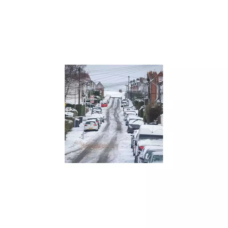
Birmingham is preparing for a significant winter weather event next week, with advanced meteorological models predicting an intense three-hour snow blitz that could deposit up to 13 centimetres across the city. This anticipated snowfall on Tuesday, 27 January 2026, represents the third major wintry episode to hit Birmingham this month, following the widespread disruptions caused by the recent Storm Goretti.
Timeline of the Snow Event
According to detailed data from WXCharts, the first light flurries are expected to arrive in the Birmingham area around 3.00am on Tuesday morning. The intensity is forecast to increase dramatically by 6.00am, marking the beginning of the most critical period.
Morning Rush Hour Impact
Between 6.00am and 9.00am, meteorologists are predicting what they describe as a "snow blitz," with snowfall rates potentially reaching 4.3 centimetres (approximately 1.7 inches) per hour. This intense burst could result in a total accumulation of roughly 12.9 centimetres blanketing city streets precisely during the morning rush hour period.
Extended Wintry Conditions
The cold spell is expected to be persistent beyond Tuesday's main event. While the heaviest snowfall will occur during Tuesday morning, further flurries are predicted for Tuesday evening and throughout Wednesday, 28 January. This could lead to a total of 18 hours of intermittent snowfall across the region.
National Weather Context
The Met Office's long-range outlook for the period spanning 25 January to 4 February supports this colder trend. Their analysis warns that Atlantic weather systems will "stall" as they encounter high pressure from the northeast, creating a meteorological "battleground" where rain frequently transitions to snow.
While the West Midlands finds itself in the direct path of this weather system, other major urban centres including London, Manchester, and Newcastle are also expected to experience significant snowfall. Weather maps indicate a substantial 388-mile "wall of snow" stretching across the country, though areas including Cornwall and Hampshire may narrowly avoid the worst of the covering.
Transport and Health Implications
Travel experts have issued warnings that a 13-centimetre accumulation would likely cause "severe disruption" to major motorways including the M6 and M5. Both National Rail and West Midlands Railway are expected to issue revised timetables should the forecast remain consistent through the weekend.
Health and Safety Concerns
The UK Health Security Agency (UKHSA) is expected to maintain its cold health alerts into next week, as temperatures are forecast to plummet as low as -4°C in the Midlands overnight. This sharp temperature drop raises concerns about widespread "black ice" forming on untreated roads and pavements.
Smaller, secondary flurries have also been forecast for Friday, 30 January, suggesting that the final week of January will be dominated by wintry hazards rather than the milder conditions experienced in mid-January.


