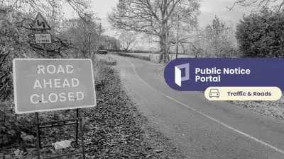
Birmingham Prepares for Extended Snow Event Amid Severe Cold Snap
New meteorological data indicates that Birmingham is set to experience a significant 12-hour snow event towards the end of January, with temperatures potentially plummeting to as low as -8°C. This forecast, derived from the latest weather charts, suggests a substantial wintry blast will impact not only Birmingham but also other major urban centres across the United Kingdom as we move into early February.
Timeline and Projected Impact of the Incoming Snowstorm
The anticipated return of heavy snowfall is currently earmarked for January 30th. A band of severe wintry weather is expected to initiate in the south-west before sweeping north-eastwards into the Midlands region by approximately 6pm. Birmingham has been identified as one of the primary cities at risk during this prolonged period of snowfall.
Current projections suggest:

- The heaviest and most persistent snow is likely to concentrate across the Midlands during the initial phase of the event.
- By midnight on January 30th, the snowfall is forecast to extend its reach, beginning to affect London and surrounding areas.
- The storm is predicted to maintain its intensity for a full twelve-hour duration.
Regional Forecast and Extended Weather Patterns
By 6am on January 31st, following the 12-hour onslaught, the focus of the heaviest snowfall is expected to shift towards the south-east of England, placing the Home Counties under particular threat. London is also anticipated to experience significant accumulations as the system progresses.
The broader weather context, as outlined by the BBC Weather forecast, indicates a shift from the current mild and sporadically wet conditions. The forecast details a significant change beginning this weekend, driven by high pressure building over Scandinavia and to the north of the UK. This atmospheric shift will cause winds to turn to a more easterly direction, ushering in notably chillier air masses.
Key points from the extended outlook include:
- Temperatures are expected to drop to near or slightly below average by Sunday, marking the start of a colder period.
- The weather will generally become drier, though a few showers—potentially wintry—may persist in specific regions like the south-west, eastern and north-eastern coasts, and northern Scotland.
- Colder conditions are set to develop firmly before the end of the upcoming week, with temperatures remaining below average and bringing further chances of wintry precipitation.
The duration of this colder spell remains uncertain, though the forecast suggests milder weather may occasionally affect the South West before returning more widely across the UK by mid-February. Residents in Birmingham and other affected areas are advised to monitor official forecasts closely and prepare for potentially hazardous travel conditions and severe cold during this period.