Birmingham Prepares for Third Major Snow Event This January
Weather forecasting models are indicating that Birmingham could experience its third significant snowfall of January, with predictions suggesting up to 5 centimetres could blanket the city later this month. This follows two previous snow events that have already affected the region during what is proving to be a particularly wintry start to the year.
Detailed Snowfall Predictions for Late January
According to data from WX Charts, a substantial band of snow approximately 328 miles in length is forecast to sweep across England on Wednesday, January 28. This weather system is expected to stretch from Cumbria in the North West all the way to Kent in the South East, encompassing numerous counties including the West Midlands, Staffordshire, Shropshire, Worcestershire, and Warwickshire.
For Birmingham specifically, the models predict that the snowfall will commence around midnight on January 28, with an initial accumulation of 5 centimetres (equivalent to 2 inches) accompanied by approximately 5 millimetres of rain. The wintry precipitation is then forecast to continue for around twelve hours, with further accumulations of 2.3 centimetres expected at 6am, followed by an additional 0.5 centimetres by midday. Conditions are anticipated to clear significantly after this period.

Potential for Further Wintry Weather
Meteorological projections suggest that January could conclude with a fourth snowfall event, currently predicted for Friday, January 30. However, forecasters indicate this later event is likely to be lighter, described as more of a sprinkling rather than the substantial blanketing expected earlier in the week.
The Met Office has reinforced these predictions in its long-range forecast covering the period from January 24 to February 2. Their analysis warns that certain areas across the UK could experience colder conditions, bringing with them an increased risk of snow. A spokesperson for the national weather service explained the broader atmospheric patterns at play.
The spokesperson stated: "The UK will likely continue to sit in the battleground between Atlantic weather systems attempting to push in from the west, but tending to stall in the vicinity of the UK as they encounter high pressure to the north and northeast. As such, further spells of rain or showers are likely at times, which may be heavy and persistent, especially in the south and west, with the best of any drier interludes in the far north and northwest."
They added a crucial note regarding temperature trends: "Whilst mild conditions will encroach into the south and west at times, it is likely to turn somewhat colder through this period, bringing the risk of some snow, more especially on hills in Scotland and northern England."
Context of Recent Winter Weather
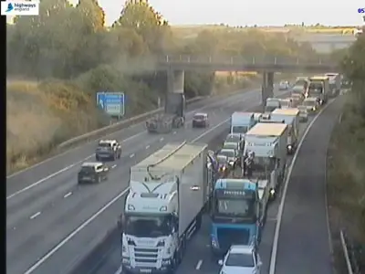
This predicted snowfall follows earlier significant winter weather events that have already impacted Birmingham this January, including snowfall associated with Storm Goretti. The potential for a third substantial covering underscores an unusually active winter period for the city and the wider West Midlands region. Residents and local authorities are advised to monitor forecasts closely and prepare for possible travel disruptions and cold weather conditions as the month draws to a close.