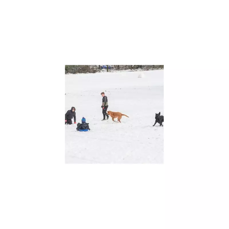
Birmingham residents should prepare their winter gear as the city faces the prospect of two more significant snowfall episodes before January concludes, according to the latest meteorological projections.
Snowy Start to 2026 Continues
Following two distinct periods of snowfall that have already blanketed the city this month, including disruptions caused by the arrival of Storm Goretti, Birmingham's winter landscape might not be finished transforming just yet.
Detailed Forecast for Late January
Weather mapping service WX Charts indicates the first of these anticipated winter events is scheduled to commence precisely at midnight on Wednesday, January 28. This system is projected to deliver an accumulation of approximately 5 centimetres, equivalent to 1.9 inches, of fresh snow across the Birmingham area.

The snowfall on January 28 is expected to persist for up to twelve hours. Forecast models suggest a peak intensity around 6am, with an estimated 2.3 centimetres (0.9 inches) falling, followed by a further 0.5 centimetres around midday. Conditions are predicted to clear in the afternoon.
Second Wave Expected Before Month's End
Just as the city recovers from that midweek event, a second, lighter snowfall is forecast for Friday, January 30. Meteorological data suggests this later episode will be less intense, involving smaller flakes and a lighter dusting compared to the earlier system.
This potential double-header would cement a remarkably snowy opening chapter to 2026 for England's second city, marking a significant departure from milder winter trends observed in recent years.
Broader National Weather Context
The Met Office has provided additional context for the national picture, noting that weather systems originating from the Atlantic are continuing to influence UK conditions. These systems are expected to bring further spells of rain, particularly heavy and persistent in southern and western regions, as they interact with high-pressure zones to the north and northeast.
However, the forecaster also highlights a trend toward colder conditions developing during this period. This temperature drop increases the likelihood of snow showers, primarily over higher ground in Scotland and northern England, though the risk extends to other areas, including the Midlands.
A Met Office spokesperson elaborated, stating, "Whilst mild conditions are expected to encroach into the south and southwest at times, it is likely to turn somewhat colder through this period, bringing the risk of some snow showers."
Residents are advised to stay updated with the latest local forecasts from both the Met Office and services like WX Charts, and to plan travel accordingly for the final week of January, as road conditions may become hazardous.