Birmingham Mobile Speed Camera Locations for March 2026 Announced
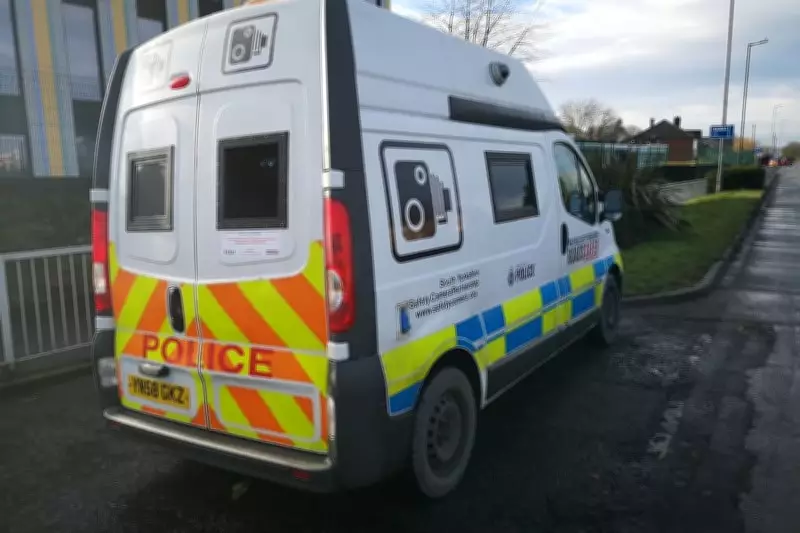
West Midlands Police has unveiled the comprehensive list of mobile speed camera sites that will be operational across Birmingham throughout March 2026. This initiative aims to bolster road safety by monitoring speeding vehicles on various key routes throughout the city.
Full List of Mobile Speed Camera Sites
According to information provided by the West Midlands Police Camera Enforcement Unit, a total of 48 mobile speed cameras will be deployed at the following locations during the month:
- A34 Stratford Road between Wycome Road and Robin Hood Island
- A34 Walsall Road near Cliveden Avenue (out of city)
- A34 Stratford Road between Robin Hood Island and Littleover Avenue
- A38 Bristol Road South near South Road (out of city)
- A4040 Bromford Lane North between Washwood Heath Road and Fairholme Road
- A4040 Bromford Lane South between Fairholme Road and Washwood Heath Road
- A4040 Fox Hollies Road northbound between School Road and Olton Boulevard
- A4040 Fox Hollies Road southbound between Olton Boulevard and School Road
- A4040 Harborne Lane in Selly Oak between Gibbins Road and Quinton Road toward Harborne
- A4040 Harborne Park Road between Old Church Road and St Mary's Road in Harborne
- A4040 Lordswood Road between Court Oak Road Island and Hagley Road West in Harborne
- A4040 Lordswood Road between Hagley Road West and Court Oak Road in Harborne
- A4040 Marsh Hill eastbound between Gipsy Lane and Streetly Road in Birmingham
- A4040 Marsh Hill westbound between Slade Road and George Road in Birmingham
- A4040 Sandwell Road between Island Road and Oxhill Road in Handsworth
- A4040 Sandwell Road between Oxhill Road and Island Road in Handsworth
- A4040 Stockfield Road between Warwick Road and Yardley Road
- A4040 Stockfield Road between Yardley Road and Warwick Road
- A4041 Queslett Road in Great Barr toward Booths Lane
- A45 Small Heath Highway approaching One Way System in Birmingham (into city)
- A452 Chester Road approaching Pype Hayes Road in Erdington
- A452 Chester Road opposite Little Pitts Close in Erdington
- A453 College Road toward Aldridge Road (southbound)
- A453 College Road toward Chester Road (northbound)
- A4540 Watery Lane Middleway between Bordesley Circus and Great Barr Street toward Garrison Circus
- B4114 Washwood Heath Road at Lime Tree Road toward Birmingham
- B4114 Washwood Heath Road between Bromford Lane and Highfield Road
- B4114 Washwood Heath Road near Membury Road in Birmingham (out of city)
- B4120 Lickey Road in Rednal between A38 Bristol Road South and Lowhill Lane toward Barnt Green
- B4120 Lickey Road in Rednal between Lowhill Lane and A38 Bristol Road South toward Bristol Road South
- B4121 Shenley Lane toward House No 415
- B4121 Shenley Lane near Meadowbrook Road
- B4151 Streetly Lane between Crown Lane and Highbury Road in Sutton Coldfield
- B4151 Streetly Lane between Highbury Road and Crown Lane in Sutton Coldfield
- Eachelhurst Road toward Chester Road
- Eachelhurst Road toward Walmley
- Fort Parkway between Spitfire Island and Fort Retail Park
- Heartlands Parkway between Star City and Bromford Lane
- Kingsbury Road between Ashold Farm Road and Tyburn Road
- Kingsbury Road between Chester Road Island and Ashold Farm Road
- Ridgacre Road between Worlds End Lane and Ridgacre Lane
- Ridgacre Road between Ridgacre Lane and Worlds End Lane in Quinton
- Stechford Lane between Burney Island and The Fox & Goose
- Tynedale Road between Heathcliff Road and Spring Road
- Tynedale Road between Spring Road and Heathcliff Road
- West Boulevard toward Barnes Hill (southbound)
- Yardley Wood Road between Swanhurst Lane and Windermere Road in Birmingham
- Yardley Wood Road between Windermere Road and Swanhurst Lane in Birmingham
This extensive deployment underscores the police's commitment to reducing speeding incidents and improving overall traffic safety in the West Midlands region.

—