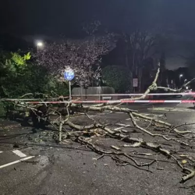
Britain is set for a wintry blast as forecasters pinpoint the exact hour a 'snow bomb' will hit the UK, bringing flurries of up to 3 centimetres. Fresh weather data indicates a significant snow storm is on course to sweep across the country from the east on Friday, December 27.
Snow Storm Timeline: From East Anglia to the Midlands
According to detailed maps from WX Charts, which utilises Met Desk data, the disruptive weather will first strike East Anglia from around 12 noon on the 27th. The system will then intensify and spread westward throughout the afternoon.
By 3pm, the snowfall is predicted to reach Kent and London. Just three hours later, at 6pm, the charts show a blanket of snow covering Greater London and regions further south. Hampshire is also highlighted as a potential risk zone for significant accumulation.
Northern Regions and Cities Braced for Impact
The snow event is not confined to the south. Further north, the forecast suggests several areas could be 'hammered' by the conditions. Depth charts indicate snow covering most of Northern Ireland, the Midlands, northern England, and the south-east.
Key conurbations in the firing line include Staffordshire, Greater Manchester, Lancashire, and the West Midlands. This puts major cities like Birmingham squarely in the path of the heaviest flurries. Data suggests the south-east of England, including the capital, could see up to 3cm of snow settling.
Longer-Term Forecast and Wintry Hazards
The Met Office's broader outlook for early January hints at the potential for further cold snaps. Their forecast states: "High pressure will probably be close to the UK at the start of this period... Given some relatively cold air close to the UK, this may bring the chance of some wintry hazards in places."
However, they note that confidence in the forecast for mid-January is currently low, with a potential shift to more changeable conditions. In the immediate term, the BBC forecasts a dry and bright start for most on Friday before rain moves into western areas, turning to snow as the colder air from the east clashes with this system.
Residents across the affected regions, particularly in the highlighted urban centres, are advised to monitor the latest weather updates and prepare for potential travel disruption as the December 27 snow bomb develops.


