
UK Braces for Four-Day Snow Bomb with Widespread Disruption Forecast
Britain is preparing for a significant winter weather event as new meteorological projections indicate a four-day continuous snow onslaught is imminent. According to the latest data from WX Charts, conditions are expected to deteriorate markedly as February progresses, with the potential for substantial disruption across the nation.
Detailed Forecast and Timeline of the Snow Event
The weather maps reveal a concerning pattern, with snow flurries anticipated to commence in the early hours of February 9. The precipitation is then forecast to persist without significant interruption through February 10, 11, and 12. This prolonged period of snowfall is predicted to affect a vast geographical area, stretching from Scotland and northern England down through the Midlands.
Further analysis shows that North Wales and eastern England, including regions like East Anglia, are also expected to be engulfed by the wintry conditions. The visual data from WX Charts depicts bands of purple, white, and grey sweeping across the country, indicating heavy snow cover. The system is projected to initiate in the north before gradually progressing eastwards.

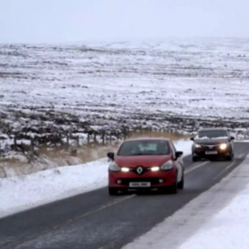
Potential Impact and Coverage Across the UK
By February 10, just one day after the initial flurries, the blanket of snow could extend to cover Greater London. Cumulatively, by the time the snow begins to subside on February 12, meteorologists estimate that a staggering 90 per cent of the country could have at least some settled snow on the ground. This leaves only a mere 10 per cent of England potentially spared from the direct effects of this weather system.
Expert Meteorological Analysis and Underlying Factors
Nick Finnis, a forecaster from Netweather TV, has provided insight into the broader atmospheric patterns that may be influencing this forecast. He notes a signal that high pressure will build from the north and northeast during the weekend following the upcoming week. This development could potentially push the train of Atlantic lows, which typically bring rain, further south.
Finnis elaborates on a more complex phenomenon, stating: "With high pressure building to the north, the models have been predicting, albeit still at range, the potential for a Sudden Stratospheric Warming (SSW)." He explains that both the 00z EC and GFS models are forecasting a split polar vortex following such an event in early February.
The probability of an SSW occurring has been assessed, with GFS ensembles indicating a 55% chance on certain platforms, though the European Centre model suggests a slightly later split, around February 12-13. Finnis adds that there "could be a quick tropospheric response to the downwelling of the reversal from a SSW too."
Longer-Term Outlook and Cautions
This potential SSW event could reinforce high-latitude blocking patterns around Iceland and Greenland. Combined with low pressure to the south, this setup has the potential to draw in much colder air from the east or northeast through the first half of February. However, Finnis emphasises that confidence remains low regarding the definite occurrence of an SSW and the precise consequences it would have on UK weather patterns. The situation continues to evolve, and further updates are expected as the forecast period approaches.


