
Fresh weather projections warn of a colossal 'snow bomb' spanning over 500 miles that could strike Birmingham and the wider Midlands region at the start of 2026, bringing a sharp wintry turn after the New Year.
When and Where the Snow Will Hit
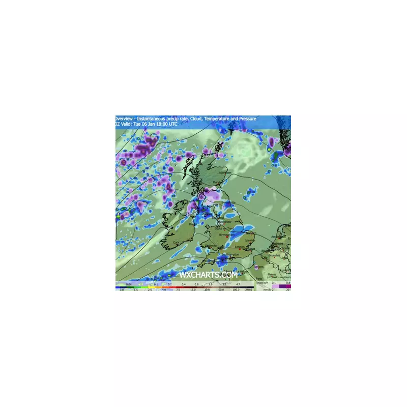
According to data from WX Charts, which uses GFS modelling, the primary date for significant snowfall across the West Midlands is Sunday, January 4, 2026. The system is forecast to be approximately 537 miles wide, impacting large parts of the UK.
The 'white stuff' is expected to push as far south as Shropshire and Staffordshire by early evening on that day, with flurries beginning to settle around 6:00 pm. While the heaviest accumulations are anticipated in Scotland and on the north-east coast, the Midlands is braced for substantial flurries as an arctic air mass takes hold.

Forecast Details and Accumulations
The most intense snowfall is currently predicted for northern areas, particularly near Aberdeen and Newcastle, where depths could reach 5cm. In parts of Scotland and along England's north-east coast, total accumulations of between 5cm and 10cm are possible.
Temperatures are set to plummet alongside the snow, with some parts of the UK potentially seeing lows of -6°C. In the week beginning 29 December, easterly and north-easterly winds will draw cold air from the North Sea, leading to widespread overnight frosts and patchy fog across the country.
Exacta Weather forecaster James Madden has indicated that conditions are projected to turn "very wintry" for many as 2026 begins. He suggested the start of this widespread snow event could even shift slightly earlier, to the period between 27 and 29 December 2025, potentially delivering a frosty end to the year.
Wider Impacts and Public Advice
Netweather TV notes that while western parts of Britain may see more sunshine, they will still experience colder-than-average temperatures, especially overnight. Sheltered areas in the west and south will be prone to recurring frosts, even if they miss the heavier snow predicted for the east and north.
As a high-pressure system moves west later in the week, winds are expected to turn more northerly, increasing the potential for wintry showers on higher ground and eastern coasts. Motorists and residents across the West Midlands are advised to monitor local forecasts closely as the precise timing and severity of the weather event becomes clearer.


