
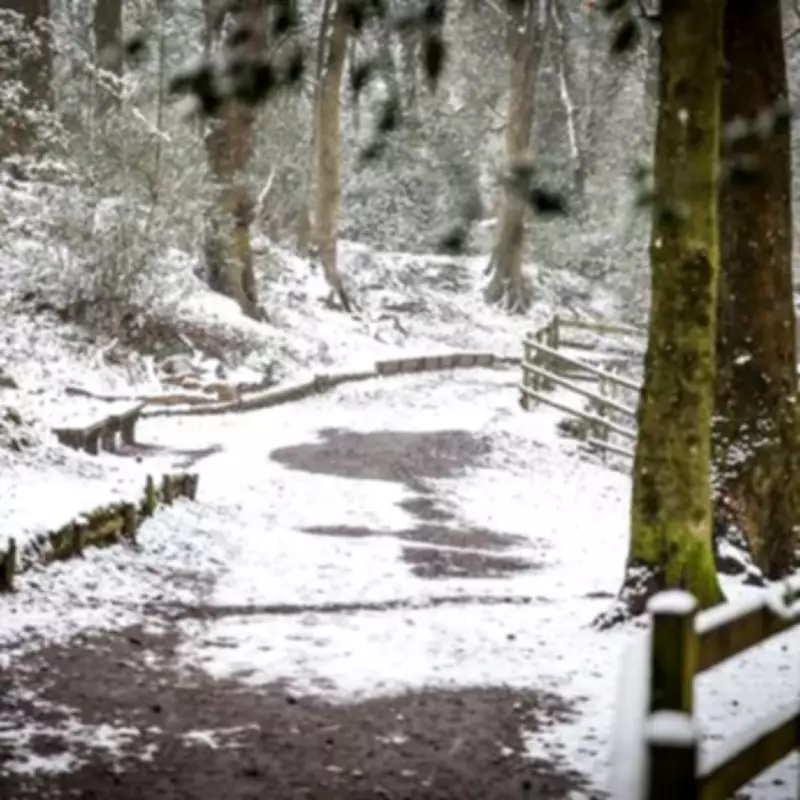
Weather forecasters have announced that several areas across the Midlands are set to experience snowfall during the first ten days of February, with specific dates now confirmed for the arrival of wintry conditions. According to detailed meteorological projections, parts of the region could see accumulations of up to 4.8 centimetres, bringing potential disruption and seasonal hazards.
Timing and Locations of the Expected Snowfall
The initial wave of snow is scheduled to arrive at midday on Friday, February 6, as indicated by weather mapping services. While much of the West Midlands is expected to remain largely unaffected by this particular event, certain northern districts are preparing for more substantial impacts.
Staffordshire Moorlands to Bear the Brunt
Forecasts suggest that the Staffordshire Moorlands area will experience the heaviest snowfall, with predictions of up to 4.8 centimetres (approximately 1.8 inches) accumulating in locations such as Longnor and Crowdecote, which lies just across the border in Derbyshire. Nearby towns like Leek are anticipated to receive lighter flurries, with around 0.4 centimetres forecast for the same timeframe.

Birmingham and Black Country Forecast
Major urban centres including Birmingham are likely to escape the initial snowfall on February 6. However, meteorological models indicate that flurries could reach the city three days later, on Sunday, February 9. Current projections suggest Birmingham might see around 0.7 centimetres of snow arriving at approximately 6pm that evening, while neighbouring Black Country areas could experience accumulations of about 0.3 centimetres.
Broader Weather Patterns and National Context
The Met Office has issued a longer-range forecast covering the period from February 4 to 13, highlighting that wintry conditions may affect parts of northern England more broadly. The national weather service explains that frontal systems approaching from the North Atlantic could stall against blocking high-pressure areas to the north and northeast of the UK.
This atmospheric setup is expected to bring further spells of rain to regions already vulnerable to flooding. As these rainbands move northwards, they may encounter colder air, increasing the likelihood of snow on higher ground in northern England and Scotland.
The Met Office further notes that a subtle southward shift of low-pressure systems during the second week of February could allow colder air to spread across northern parts of the UK, elevating the risk of wintry hazards such as ice and snow for a temporary period.
Residents across the Midlands are advised to stay updated with local weather warnings and travel advisories as these forecasts develop, particularly those in rural or elevated areas where snowfall impacts can be more pronounced.


