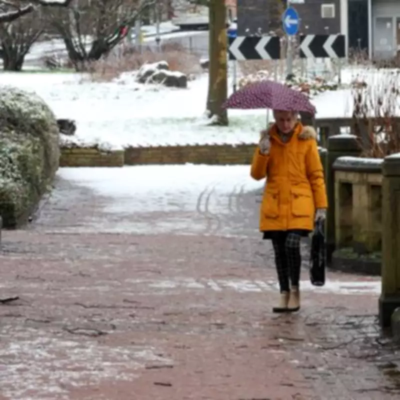
Weather forecasting maps have revealed that two prominent Midlands towns are preparing for substantial snowfall tomorrow, with predictions indicating up to 3.3 centimetres of accumulation in certain areas. This development comes as meteorological data confirms Birmingham will experience winter precipitation, rounding off what has been a notably snowy opening month to 2026 across the region.
Detailed Snowfall Predictions for the Midlands
According to the latest data from WX Charts, distinct bands of purple have appeared on weather mapping systems, indicating significant snowfall coverage across parts of Birmingham, the Black Country, and Staffordshire. The meteorological models suggest Birmingham could receive its first sprinkling of snow from midnight on Friday, January 30th, with an initial accumulation of 0.7 centimetres predicted for the early hours.
Regional Weather Patterns and Timing
The winter weather system is expected to demonstrate distinct movement patterns throughout the early morning period. Areas within the Black Country region, including Dudley and Wolverhampton, are forecast to experience approximately 1.1 centimetres of snowfall around midnight, accompanied by substantial rainfall measuring 4.4 millimetres.
As the weather front progresses northward through the Midlands, Staffordshire towns will encounter the most significant accumulation. Meteorological projections indicate that by 3am, snow will arrive south and east of Stoke, covering communities including Stone and Cheadle with the region's highest predicted snowfall of 3.3 centimetres, equivalent to approximately 1.2 inches.
Weather Transition and Broader Forecast Context
The winter precipitation is expected to clear relatively quickly, giving way to rainfall as the morning progresses. This transition will mark the conclusion of what has been a particularly snowy January for the Midlands region, with multiple weather events contributing to accumulations throughout the month.
Met Office Advisory and Regional Implications
Meanwhile, the Met Office has issued additional warnings regarding potential snowfall across northern elevated areas. In their official Friday forecast statement, the national meteorological service indicated: "Friday looks rather cloudy and breezy with rain moving northwards, giving snow over some northern hills. Briefly brighter in the south, though heavier rain and strong winds developing here."
This advisory suggests that while the Midlands will experience significant snowfall, other regions across England may also encounter winter weather conditions, with northern hills particularly susceptible to accumulation. The forecast highlights the broader weather patterns affecting the country as January concludes, with multiple regions preparing for precipitation in various forms.
Residents across the affected Midlands areas are advised to prepare for potentially hazardous travel conditions during the early morning hours, with snowfall accumulation potentially impacting road surfaces and visibility. The transition from snow to rain later in the morning may create additional challenges as melting snow combines with rainfall.


