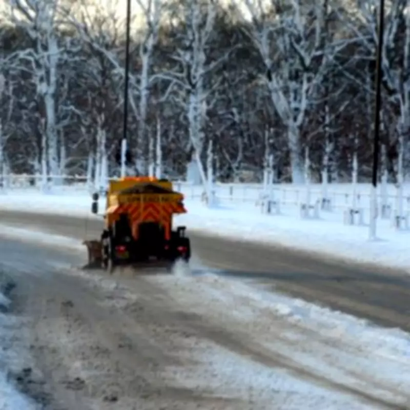
UK Braces for Four-Day Snow Bomb: Exact Dates and Impact Areas Revealed
New weather maps and charts from WX Charts have unveiled a significant snow bomb set to hit the United Kingdom, with the disruptive wintry conditions expected to last for four consecutive days. The forecast suggests that nearly the entirety of England, Wales, Scotland, and Northern Ireland could experience snowfall during this period, marking a return to colder, more challenging weather patterns.
Detailed Timeline of the Snowfall Event
The first flurries are projected to begin on February 11, initially affecting northern England and Scotland, where maps show these regions turning white. By February 12, the wintry conditions are anticipated to extend to Wales and Northern Ireland, broadening the impact across the UK.
As the band of wintry weather progresses southwards, February 13 could see a dusting of snow cover major urban centres including:
- Greater London
- Birmingham and the West Midlands conurbation
- Manchester and Liverpool
- Cardiff and Glasgow
This southward movement will bring snowfall to the Midlands and south-east regions. On February 14, snowfall is expected to return to London, with the Home Counties also receiving a fresh blanket of snow. Snow depth charts indicate that the Scottish Highlands could see accumulations reaching up to 52cm (20 inches), highlighting the potential severity in some areas.
Met Office Outlook and Weather Patterns
Looking ahead from February 7 to February 16, the Met Office has provided insight into the broader weather patterns. They note that frontal systems over the Atlantic, steered by a south-shifted jet stream, are likely to approach the UK at times but may stall as they encounter a blocking area of high pressure to the north and northeast.
This dynamic could result in further spells of rain, particularly in areas already sensitive to flooding. As these rain bands spread northwards, some snow is possible in northern England and Scotland, mainly over higher ground, as they meet colder air.
A subtle shift southwards of these low-pressure areas is anticipated during the second week of February, which may allow colder air to spread across larger parts of the UK, including the south. This increases the risk of wintry hazards such as ice and snow.
The Met Office adds that while confidence remains low through this period, a south-shifted jet stream is likely to persist, steering areas of low pressure towards and south of the UK. This pattern is expected to bring further spells of wet and windy weather, with rain most frequent in the south and west, and perhaps eastern Scotland, while northwest Scotland may experience drier conditions relative to normal.
Some hill snow will be possible at times as wet weather encounters colder air across northern parts of the UK. There is a hint that storm systems may start to track a little further north by March. Temperatures overall are likely to be close to average for most parts, but perhaps a little below in the northeast initially.
This forecast underscores the need for preparedness as the UK faces a prolonged period of wintry weather, with widespread snowfall potentially affecting travel, infrastructure, and daily activities across the nation.


