A dramatic shift in the UK's weather is imminent, with forecasters warning of a widespread 'rain bomb' poised to sweep across the nation, bringing significant disruption before turning wintry in parts of northern England.
Widespread Deluge Ahead for Dozens of Counties
According to detailed maps from WX Charts, a colossal wall of rain is expected to impact a staggering 93 counties across the United Kingdom. The unsettled conditions are forecast to intensify from Friday afternoon onwards, with persistent and heavy showers moving across England.
The Met Office has indicated that this band of rain will be a dominant feature, leading to a notably wet and windy spell for most areas. Temperatures, while generally around or slightly above average for the time of year, will feel distinctly chilly when combined with the wind and rain.
Four Counties on Alert for Snowfall
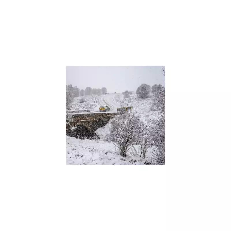
The situation becomes more complex and potentially hazardous in northern regions, where the rain is predicted to turn increasingly wintry. Data from Met Desk highlights a specific risk for four English counties where the precipitation could readily turn to snow.
The areas identified as being most at risk for this transition from rain to the 'white stuff' are:
- Cumbria
- Durham
- Northumberland
- Lancashire
This shift is expected across the North East and North West as colder air interacts with the incoming moisture, raising the prospect of travel disruption and icy conditions in these areas.
Extended Outlook: Unsettled Pattern Continues
The Met Office's forecast from Sunday onwards suggests little immediate respite. The outlook details a continuation of the volatile conditions, with further showers or longer spells of rain likely alongside strong winds affecting most, if not all, of the country.
"Sunday will likely start largely fine, bar a few showers, but another band of rain is expected to move east or northeast across the country during the day," the forecast states. It adds that this will clear to showers, but further bands of rain, some accompanied by very strong winds, are probable over the following several days.
Looking further ahead to the period from December 17 into January, the pattern remains changeable. Spells of rain or showers and strong winds, especially in the west, are expected to persist, with hill snow remaining a possibility, mainly in the north.
However, forecasters note a greater chance of high-pressure systems developing during this later period, which could bring more prolonged dry spells compared to early December. Should these settled spells occur, they would increase the likelihood of overnight frost and fog. Overall, temperatures are predicted to be near or slightly above average, though colder interludes remain possible.


