
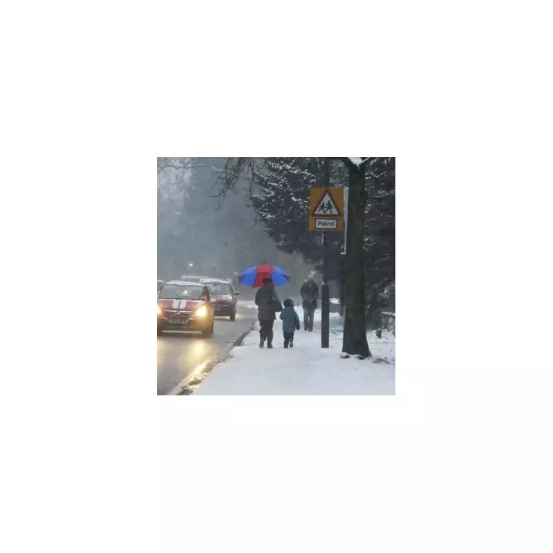
A significant winter weather warning has been dramatically widened across the United Kingdom, with forecasters now placing 27 counties on alert for a potential 'snow bomb'. The threat area has expanded from an initial 11 counties, with new data indicating a widespread risk of disruptive snowfall.
Which Areas Are Now At Risk?
According to the latest projections from WX Charts, vast swathes of Scotland and England should prepare for wintry conditions. The maps are turning a telling bright white, signalling the high probability of significant snow accumulation. The flurries are currently predicted to make landfall on or around January 3.
The extensive list of counties now under threat includes a large portion of Scotland. The Scottish counties identified are:

- Highland
- Moray
- Aberdeenshire
- Angus
- Perth and Kinross
- Dundee city
- Fife
- Clackmannanshire
- Edinburgh
- West Lothian
- Midlothian
- North Lanarkshire
- Scottish Borders
- Dumfries and Galloway
- East Dunbartonshire
In England, the risk extends to northern and eastern regions, as well as some surprising southern areas. The English counties named are:
- Northumberland
- Cumbria
- Durham
- Yorkshire
- Lancashire
- Greater Manchester
- Lincolnshire
- Norfolk
- Suffolk
- Buckinghamshire
- Oxfordshire
- Cornwall
Official Forecasts and Christmas Outlook
The Met Office's forecast for the period starting January 3 indicates that high pressure will likely be situated near the UK. While this may bring settled conditions initially, with risks of frost and fog, it also opens the door to wintry hazards. The forecast states: "Given some relatively cold air close to the UK, this may bring the chance of some wintry hazards in places." Confidence in the forecast for mid-January remains low, suggesting potential for more changeable conditions.
Separately, the BBC Weather team has provided an update on the festive period leading up to the cold snap. They predict a change in pattern during Christmas week, with an end to the Atlantic low-pressure systems. Conditions are expected to become drier but noticeably chillier around Christmas Eve and Christmas Day, with east to north-easterly winds bringing cloud and the chance of light drizzle or wintry precipitation over higher ground.
Preparing for the Freeze
The freeze is anticipated to set in overnight on January 3, potentially leaving many of the named counties under a blanket of snow. Residents across the affected regions are advised to monitor official forecasts from the Met Office and BBC Weather closely in the coming days. The substantial expansion of the alert area from 11 to 27 counties underscores the increasing scale of this potential winter weather event. Planning for possible travel disruption and checking on vulnerable neighbours as the new year begins would be prudent.


