
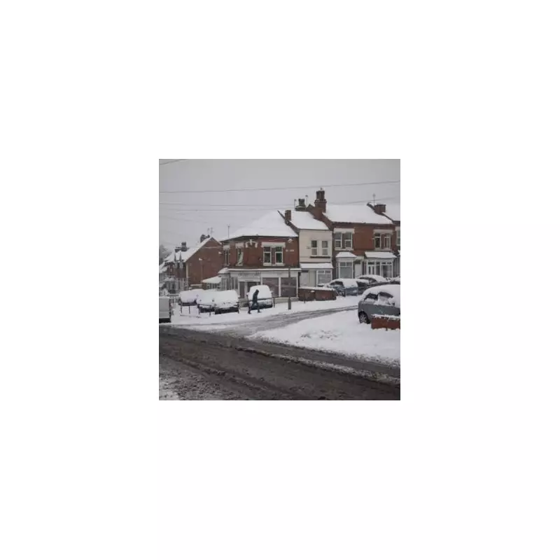
Britain is bracing for a severe cold snap in the aftermath of Christmas Day, with new weather models predicting a dramatic plunge in temperatures and potential blizzard conditions. Forecast maps have turned a stark ice blue, indicating a significant and widespread freeze set to grip the nation as it heads into the New Year.
Deep Freeze to Follow Christmas Festivities
The most intense cold is expected to sweep across the country from New Year's Eve onwards. According to data from WX Charts, the mercury is forecast to plummet to a bitter -6 degrees Celsius in parts of Scotland by midnight on January 1st. This marks a colder turn than was initially anticipated by forecasters.
The freezing conditions will not be confined to the north. Greater London and the Home Counties are set to shiver with lows of -2C to -3C, while sub-zero temperatures will be felt across vast swathes of England. In Scotland, the deep chill is predicted to linger, with temperatures around -3C likely to persist for several days as 2026 begins.

Snow Risk and Travel Chaos Warnings
The dramatic temperature drop brings with it a heightened risk of snowfall. Weather charts suggest snow is likely between December 27 and January 1. Flurries are marked for areas including:
- The south west of England
- The south coast and south east
- The Home Counties
- East Anglia
The Met Office has indicated that occasional showers over the Christmas period, particularly in eastern and southern areas, could turn wintry, especially over higher ground. However, they note there are currently "no strong indications at this stage of any significant snowfall."
Nevertheless, the impending deep freeze is expected to cause significant disruption. Authorities are warning of potential traffic and travel chaos, with rail delays and motorway hold-ups likely due to icy conditions and any settling snow.
Met Office Outlook for the New Year
The national weather service's broader forecast for January suggests high pressure will probably remain close to the UK at the start of the month. This could bring settled, dry conditions initially, but also increases the risk of widespread frost and fog.
The Met Office states: "Given some relatively cold air close to the UK, this may bring the chance of some wintry hazards in places." They add that towards the middle of January, there is potential for more changeable conditions to develop, though confidence in this part of the forecast is currently low.
Residents are advised to stay updated with the latest local forecasts and travel information as the festive period progresses, and to prepare for a notably chilly entrance to the New Year.


