The Met Office has issued a significant yellow weather warning for snow and ice, covering parts of Birmingham and the wider West Midlands region. The alert came into force on Saturday and is set to remain active until midnight on Tuesday, 6th January 2026.
Immediate Icy Hazards and Snow Showers
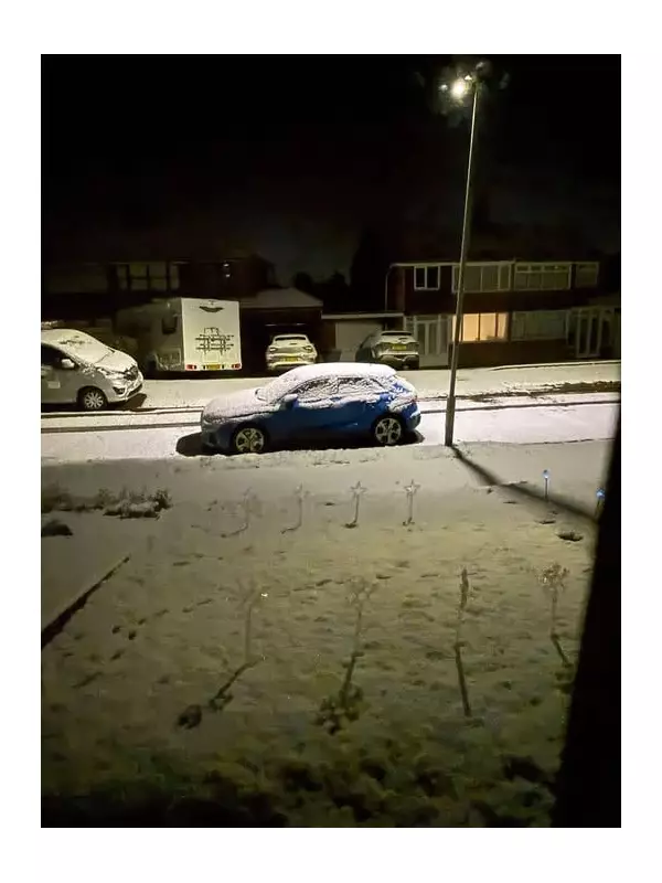
Following initial snow showers on Saturday, the primary concern overnight into Sunday morning was the formation of ice on untreated surfaces. The Met Office warned that ice would likely form where snow had partially thawed and then refrozen, creating treacherous conditions for pedestrians and drivers.
Sunday's forecast suggested a deceptive start, with blue skies and sunshine, but the risk of snow flurries was expected to increase through the afternoon, potentially turning heavy by evening. Frost was predicted to linger all day, with temperatures struggling to reach a maximum of 3°C.

Further Snow Accumulation and Bitter Cold
The weather warning indicates that while not all areas will be affected, scattered snow showers will move inland from the North Sea during Monday. The Met Office states that where showers are most frequent, particularly across parts of North and East Yorkshire and Redcar and Cleveland, fresh accumulations of 5-8 cm are possible in a few places.
Additional hazards include the potential for lightning and gusty winds, especially near windward coasts. Although snow showers should become more isolated by Monday evening, the risk of ice will persist into Monday night as temperatures plunge below freezing.
Detailed Forecast for the West Midlands
The regional forecast outlines a very cold and disruptive period:
- Sunday Night: Snow showers clearing southwards around midnight, leaving icy conditions. A severe frost will form in prone spots, with a minimum temperature of -6°C.
- Monday: A very cold, frosty, and icy start will give way to crisp winter sunshine. However, it will feel bitterly cold, with temperatures in some places struggling to rise above freezing. The maximum is forecast to be just 2°C.
- Tuesday Onwards: A frosty start is expected on Tuesday, with the day mainly dry but with possible rain and hill snow later. Conditions are forecast to gradually turn less cold but more unsettled on Wednesday and Thursday.
Residents across the warned area are advised to take extra care on roads and pavements, allow more time for journeys, and stay updated with the latest forecasts from the Met Office.